

Friends of ASOR present the next webinar in the 2023-2024 season on January 25, 2024, at 6:00 pm EST, presented by Dr. Eric Cline and Glynnis Fawkes. How does a cartoonist go about adapting a work of history, specifically Eric H. Cline’s 1177 BC The Year Civilization Collapsed? In this talk I will describe the process of interpreting Eric’s text in comics, an exercise where I repeatedly asked myself: how might I tell this story visually, and how can I put Eric’s words into the mouths of characters involved in the story? This meant making historical figures (such as Ramses III) speak, as well as imagining characters for whom we have no record offering commentary and opinions. To guide the narrative, I introduced two new young characters, Pel (of the Sea Peoples) and Shesha, (an Egyptian scribe) who ask the central question of the book: Why after three prosperous centuries did the civilizations of the Eastern Mediterranean Bronze Age suddenly come to an end? Pel and Sesha are young teenagers, perhaps the same age as a young audience for the book, and although the book is for all ages, I have not simplified the arguments and information Eric presents in the original 1177 BC. When these characters joined the book, (Eric and I came up with them about 50 pages in) their quest gained a personal dimension, and allowed for play with their interactions with the material. Pel, too young to remember the Sea Peoples battles himself, wants to know why his grandfather keeps talking about the glory days before collapse. So why did it happen?

My background as an archaeological illustrator, and the several years I lived in Cyprus and Lebanon allowed me to travel in the region and visit many of the places featured in the book, from Medinet Habu to Ugarit to Mycenae. My interest in comics stems from a fascination with Egyptian art when I was young; the combination of drawing, text, and page composition that creates an immersive world. Working on this book felt as if Eric had built the playground that was the original 1177 BC, and I brought the characters there to play– if possible at the end of civilization!
The webinar will conclude with a live Q&A session.
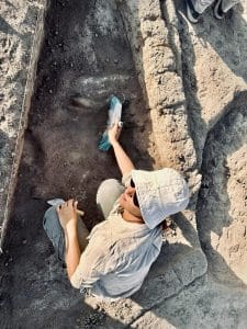
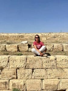
 Glynnis Fawkes was the recipient of a Fulbright Fellowship to Cyprus where she published Archaeology Lives in Cyprus and Cartoons of Cyprus and has worked as an illustrator on archaeological projects in Greece, Cyprus, Israel, Lebanon, Syria, and Turkey. Her comics have appeared on The New Yorker.com, The Comics Journal, Popula.com, and MuthaMagazine.com (for which she was nominated for an Ignatz Award). She is author/illustrator Charlotte Bronte Before Jane Eyre, Persephone’s Garden, and the minicomics Allé Egó and Greek Diary, both of which won medals at the Society of Illustrators’ MoCCA fest in NYC. She lives in Vermont and teaches at the Center for Cartoon Studies.
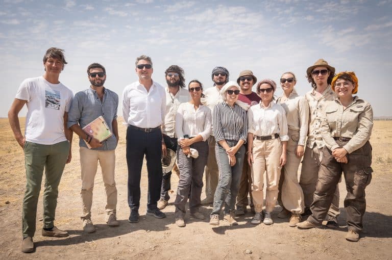
 Eric H. Cline is Professor of Classics and Anthropology, the former Chair of the Department of Classical and Near Eastern Languages and Civilizations, and the current Director of the Capitol Archaeological Institute at George Washington University, in Washington DC. A National Geographic Explorer, NEH Public Scholar, Getty Scholar, and Fulbright Scholar with degrees from Dartmouth, Yale, and the University of Pennsylvania, he is an active field archaeologist with more than 30 seasons of excavation and survey experience in Israel, Egypt, Jordan, Cyprus, Greece, Crete, and the United States, including ten seasons at Megiddo (1994-2014), where he served as co-director before retiring from the project in 2014, and another ten seasons at Tel Kabri, where he currently serves as Co-Director. He is the author or editor of twenty books and nearly one hundred articles; translations of his books have appeared in nineteen different languages.
This webinar will be recorded and all paid registrants will be sent a link to view the recording.

*Please log in to the Online Portal BEFORE registering for the webinar. Once you have logged in, you will be able to register under our Events page linked above.
ASOR Sustaining Members: $0 | ASOR Members: $6.50 | Public: $13
Season Pass: ASOR Sustaining Members: $0 | ASOR Members: $75 | Public: $155
Buy one here!
Please e-mail membership@asor.org with any questions or issues with registering.
All proceeds from this webinar are used to fund scholarships for members as well as increasing ASOR’s online resources, which are free to the public.
Buy a season pass for all the webinars* of the 2023-2024 FOA Webinar Season! With a season pass, you will automatically be registered for every webinar in the season, and you will receive the recording of each webinar automatically after the event.
If you have missed webinars earlier in the season and still want to buy the pass, you will receive the links to the recordings of the webinars you missed in your automatic confirmation email after you buy the pass.
*Special symposiums may be excluded from the season pass price.
No more registering for a year if you buy your pass today!
Pricing:
ASOR Sustaining Members: $0 (automatic registration for each webinar)
Members: $75
Public: $150
Not a member yet? Click here to join as a member and receive the 50% off a season pass!

Please e-mail membership@asor.org if you have any questions or issues.
Dear ASOR Members and Friends,
I am writing today to ask you to make a gift to ASOR before the end of the year. Our members’ and friends’ generosity with both money and time is what makes it possible for ASOR to accomplish its multiple missions of initiating, encouraging, supporting, and disseminating research on, and public understanding of, the history and cultures of the Near East and wider Mediterranean world.
One of our prime methods of getting the word out about this research is our Annual Meeting, held every November. Our 2023 AM was our first hybrid meeting. There were more than 1,000 registrants, with nearly 800 attendees in-person and over 200 more participating virtually. Due to the ongoing war in the Middle East, we needed to change numerous presenters from in-person to virtual at the last minute, and I am grateful to the hard-working ASOR staff who managed that. It was not an easy meeting, but it was successful, with excellent program presenters who represented 35 countries and 6 continents.
ASOR’s work increasingly includes expanding the understanding of the importance of cultural heritage and its preservation among peoples who are often in conflict. As one of our collaborators in Niger recently put it “We have an obligation to create awareness, to teach the local political figures and religious leaders, who would hopefully teach others, to pass the message, from village, to town, to city, therefore reducing destruction to our cultural heritage, helping locals understand the utility of their heritage and its importance for our history and identity.” A big part of this process is fostering collaborations and friendships across borders and between peoples.
In this time of war, which has ripped much of the world in which we work apart and fueled growing fires of Islamophobia and Antisemitism worldwide, ASOR’s work is more important than ever. Please give to ASOR today.
With all best wishes for a better New Year,

Sharon Herbert
ASOR President

[vc_row fullwidth=”true” attached=”true” css=”.vc_custom_1496247803139{padding-top: 0px !important;padding-right: 0px !important;padding-bottom: 0px !important;padding-left: 0px !important;}”][vc_column][vc_single_image image=”81206″ img_size=”1920×400″ alignment=”center”][/vc_column][/vc_row][vc_row fullwidth=”true” css=”.vc_custom_1496682730308{padding-top: 10px !important;padding-right: 0px !important;padding-bottom: 0px !important;padding-left: 0px !important;}”][vc_column width=”1/12″ css=”.vc_custom_1496683820796{margin-right: 10px !important;}” offset=”vc_hidden-md vc_hidden-sm vc_hidden-xs”][vc_column_text]
SHARE
[/vc_column_text][mk_image src=”http://www.asortest.org/wp-content/uploads/2017/01/social-fb-icon4.jpg” image_width=”42″ image_height=”42″ hover=”false” custom_url=”https://www.facebook.com/ASOResearch/” margin_bottom=”0″][mk_image src=”http://www.asortest.org/wp-content/uploads/2017/01/social-tw-icon4.jpg” image_width=”42″ image_height=”42″ hover=”false” custom_url=”https://twitter.com/ASOResearch?ref_src=twsrc%5Egoogle%7Ctwcamp%5Eserp%7Ctwgr%5Eauthor” margin_bottom=”0″][mk_image src=”http://www.asortest.org/wp-content/uploads/2017/01/social-in-icon4.jpg” image_width=”42″ image_height=”42″ hover=”false” custom_url=”https://www.linkedin.com/company/american-schools-of-oriental-research” margin_bottom=”0″][mk_image src=”http://www.asortest.org/wp-content/uploads/2017/01/social-ml-icon_7.jpg” image_width=”42″ image_height=”42″ hover=”false” custom_url=”mailto:asor@bu.edu” margin_bottom=”0″][mk_image src=”http://www.asortest.org/wp-content/uploads/2017/01/blog-icon3.jpg” image_width=”42″ image_height=”42″ hover=”false” custom_url=”http://asorblog.org/” margin_bottom=”0″][/vc_column][vc_column border_color=”rgba(255,255,255,0.01)” width=”1/6″ css=”.vc_custom_1496683923840{margin-right: 20px !important;border-left-width: 2px !important;padding-right: 20px !important;padding-left: 20px !important;border-left-color: #99422f !important;}”][mk_divider divider_color=”rgba(255,255,255,0.01)” thickness=”1″ margin_top=”3″ margin_bottom=”3″][vc_widget_sidebar sidebar_id=”ca-sidebar-39801″][/vc_column][vc_column border_color=”rgba(170,170,170,0.01)” width=”1/2″ css=”.vc_custom_1487276122024{margin-right: 10px !important;margin-bottom: 30px !important;border-right-width: 2px !important;border-bottom-width: 2px !important;padding-top: 30px !important;padding-right: 30px !important;padding-left: 20px !important;background-color: #ffffff !important;border-right-color: rgba(227,228,228,0.75) !important;border-bottom-color: rgba(227,228,228,0.75) !important;}”][vc_row_inner][vc_column_inner css=”.vc_custom_1651159200767{padding-right: 15px !important;}”][vc_column_text]
[/vc_column_text][/vc_column_inner][/vc_row_inner][mk_divider thickness=”1″ margin_top=”10″ margin_bottom=”30″][vc_row_inner][vc_column_inner width=”1/2″ css=”.vc_custom_1651245957391{padding-right: 10px !important;padding-bottom: 15px !important;}”][vc_single_image image=”93804″ img_size=”medium” alignment=”center” onclick=”custom_link” img_link_target=”_blank” link=”https://www.journals.uchicago.edu/toc/basr/current”][/vc_column_inner][vc_column_inner width=”1/2″][vc_wp_text]
[/vc_wp_text][/vc_column_inner][/vc_row_inner][mk_divider thickness=”1″ margin_top=”30″ margin_bottom=”30″][vc_row_inner][vc_column_inner css=”.vc_custom_1651155052143{padding-right: 10px !important;}”][vc_single_image image=”93805″ img_size=”1000×300″ alignment=”center” onclick=”custom_link” img_link_target=”_blank” link=”https://www.journals.uchicago.edu/doi/10.1086/726144″][mk_padding_divider size=”10″][vc_column_text]
Pp. 1-19: “Close to Us or Far from Them? Unusual Funerary Spaces in Early and Middle Bronze Age Cyprus,” by Luca Bombardieri
A number of recent studies have devoted attention to the archaeology of burial and its implications in Bronze Age Cyprus (Keswani 2004, 2005; Knapp 2018; Webb 2018). This article analyzes some aspects of space negotiation between settlement and funerary areas during the Early and Middle Bronze Age. After briefly discussing current views on this subject, it will focus on specific cases of intramural burial from a set of contemporary contexts and then provide a possible interpretation of this unusual funerary practice. Our sources of evidence for unusual burials in Early and Middle Bronze Age Cyprus are three-fold: burial contexts and locations within inhabited spaces, associated assemblages, and human remains. Each of these will be discussed, before asking whether these data, and their anthropological and ethnographic counterparts, might suggest practices associated with necrophobia in prehistoric Cyprus.
[/vc_column_text][/vc_column_inner][/vc_row_inner][mk_divider thickness=”1″ margin_top=”10″ margin_bottom=”30″][vc_row_inner][vc_column_inner css=”.vc_custom_1651155064988{padding-right: 10px !important;}”][vc_single_image image=”93806″ img_size=”1000×300″ alignment=”center” onclick=”custom_link” img_link_target=”_blank” link=”https://www.journals.uchicago.edu/doi/10.1086/727053″][mk_padding_divider size=”10″][vc_column_text]
Pp. 21-57: “Settlement Systems, Cultural Relationships, and Regional Economy during the Early Bronze Age III-IV in the Northern Shawbak and the Southern Dead Sea Valley: New Insights into the Copper Production System of Faynan,” by Masatoshi Yamafuji
Industrial copper production during the Early Bronze (EB) Age III–IV made the southern Dead SeaValley around Faynan attractive to southern Levantine society. Despite continuous investigations, no previous research has revealed the settlement system or the ceramic regionalism, including the hinter-lands. Forty-one recently confirmed sites from the Early Bronze Age in the northern Shawbak, located to the immediate east of Faynan, contained remarkable settlements in the late EB III and EB IV. A typo-chronological analysis of the ceramic assemblages provided evidence of occupation peaks in the late EB III and a continuation of the settlements in the early EB IV and the earlier phase of the late EB IV. The ceramic types indicate influence from the central southern Levant and the Negev High-lands in both periods. The settlements in the northern Shawbak are expected to have played key roles in the copper production system centered on Faynan. Exploitation of wood for smelting fuel, food provisioning, and circulation of copper were major economic activities. In the EB IV, these settlements co-existed with remnants of pastoral nomadism. Therefore, the economic interdependency between the northern Shawbak and Faynan likely intensified temporarily
[/vc_column_text][/vc_column_inner][/vc_row_inner][mk_divider thickness=”1″ margin_top=”10″ margin_bottom=”30″][vc_row_inner][vc_column_inner css=”.vc_custom_1651155073486{padding-right: 10px !important;}”][vc_single_image image=”93807″ img_size=”1000×300″ alignment=”center” onclick=”custom_link” img_link_target=”_blank” link=”https://www.journals.uchicago.edu/doi/10.1086/726797″][mk_padding_divider size=”10″][vc_column_text]
Pp. 59-95: “Continuity and Change in the Local Production of Hellenistic and Early Roman Cooking Pottery from Nea Paphos (Cyprus),” by Kamila Nocoń and Edyta Marzec
This paper concerns the Hellenistic and Early Roman cooking pottery originating from the area of Nea Paphos, Cyprus. Macroscopic examinations conducted on a few thousand local vessels and their fragments provided the detailed characterization of this group of pottery in terms of the appearance of fabric, typology, and chronology. The integration of these data with the results of laboratory analysis of selected samples revealed that the local production of cooking pottery changed through time in terms of clay composition, shapes, surface treatment, and firing techniques. The transformations observed within the local cooking pottery manufacture seem to correlate with political and social changes as well as the development of Nea Paphos.
[/vc_column_text][/vc_column_inner][/vc_row_inner][mk_divider thickness=”1″ margin_top=”10″ margin_bottom=”30″][vc_row_inner][vc_column_inner css=”.vc_custom_1651155081236{padding-right: 10px !important;}”][vc_single_image image=”93809″ img_size=”1000×300″ alignment=”center” onclick=”custom_link” img_link_target=”_blank” link=”https://www.journals.uchicago.edu/doi/10.1086/727430″][mk_padding_divider size=”10″][vc_column_text]
Pp. 97-111: “The Sheshonq Fragment from Megiddo: A New Interpretation,” by Shirly Ben-Dor Evian and Israel Finklestein
The limestone fragment inscribed with the royal names of king Sheshonq I was found at Tel Megiddo by the Oriental Institute team in 1925. Since its discovery, the piece has been interpreted as part of a large royal stela, erected by the monarch at the site as a sign of Egyptian hegemony. A recent re-examination of the original fragment reveals several anomalies in comparison to the known corpus ofEgyptian stelae. Among these is the fragment’s unusual thickness, more than 50 cm thick, and the absence of smoothed edges on either of its sides. A comparison with contemporaneous (early 22nd Dy-nasty) material from both Egypt and the Levant suggests that the fragment was part of an inscription embedded as an architectural element rather than a stela. The results of recent excavations at Megiddo allow for placing the Sheshonq block stratigraphically and perhaps to identify its original location at the site
[/vc_column_text][/vc_column_inner][/vc_row_inner][mk_divider thickness=”1″ margin_top=”10″ margin_bottom=”30″][vc_row_inner][vc_column_inner css=”.vc_custom_1651155088757{padding-right: 10px !important;}”][vc_single_image image=”93810″ img_size=”1000×300″ alignment=”center” onclick=”custom_link” img_link_target=”_blank” link=”https://www.journals.uchicago.edu/doi/10.1086/727054″][mk_padding_divider size=”10″][vc_column_text]
Pp. 113-128: “Facial Decorations under the Microscope: Decentering Sex and Gender in Phoenician-Punic Coroplastic Art,” by Mireia López-Bertran and Agnès Garcia-Ventura
This paper focuses on a selection of Phoenician-Punic artifacts from the western Mediterranean dating from the 7th to 2nd centuries B.C. It examines some examples of coroplastic art (musician figurines, masks, and protomae) and ostrich eggshells bearing facial decorations, and discusses the different ways in which these decorative motifs have been interpreted in modern scholarship and highlights the centrality of sex and gender in most of these traditional conceptions. It also briefly presents some theoretical insights and shows how, if we decenter sex and gender and instead apply an intersectional approach to the analysis of these materials, some alternative interpretations may emerge.
[/vc_column_text][/vc_column_inner][/vc_row_inner][mk_divider thickness=”1″ margin_top=”10″ margin_bottom=”30″][vc_row_inner][vc_column_inner css=”.vc_custom_1651155096100{padding-right: 10px !important;}”][vc_single_image image=”93811″ img_size=”1000×300″ alignment=”center” onclick=”custom_link” img_link_target=”_blank” link=”https://www.journals.uchicago.edu/doi/10.1086/726585″][mk_padding_divider size=”10″][vc_column_text]
Pp. 129-174: “In the Neighborhood of the Defeated: Urban Analysis of the Provincial Town at Neo-Assyrian Dan” by Yifat Thareani
Assyria’s desire for global domination was marked by the empire’s ideological conception of a“superior”center and an“inferior”periphery. The creation of the Neo-Assyrian provincial system during the 8th–7th centuries B.C.E. was intended to bring order and stability to a chaotic frontier and to create new realities for colonizers and colonized alike. Nevertheless, upon conquering new regions imperial ambitions were reined in by considerations of ecology, demographics, and politics. While the“colonial geography”of the Assyrian empire is often studied from textual, visual, and historical perspectives, it is also marked by distinct material culture expressions that are often explored from a technical point of view. Being one of the main foci of Assyrian imperial expansion, the southern Levant constitutes an ideal case study for investigating material culture manifestations of Assyrian imperial influence on conquered territories. An extensively explored site, the rich archaeological evidence from Tel Dan in the Hula Valley (Stratum Ib) provides a unique opportunity to explore imperial policies of deportation and resettlement in the face of geopolitical forces, as well as Assyrian impact on the everyday life of indigenous populations and recently arrived deportees
[/vc_column_text][/vc_column_inner][/vc_row_inner][mk_divider thickness=”1″ margin_top=”10″ margin_bottom=”30″][vc_row_inner][vc_column_inner css=”.vc_custom_1651155102141{padding-right: 10px !important;}”][vc_single_image image=”93812″ img_size=”1000×300″ alignment=”center” onclick=”custom_link” img_link_target=”_blank” link=”https://www.journals.uchicago.edu/doi/10.1086/724418″][mk_padding_divider size=”10″][vc_column_text]
Pp. 175-187: “The Petrographic Study of the Pottery Assemblage from Naḥal Tsafit and Its Implications for Chalcolithic Copper Production Systems” by Yuval Goren and Steven A. Rosen
Petrographic analysis of ceramics from the Naḥal Tsafit (ca. 4000) campsite located in the Rotem Plain of the eastern Negev reflects pottery origins both in the Hebron Hills and environs, and most notably in the Faynan region. Attributed to the Chalcolithic Middle Timnian pastoral culture, mostly in deserts and contemporary with the Ghassulian culture, the analysis indicates connections to the copper source region in Faynan. Given the nomadic nature of the site, the absence of Ghassulian remains in Faynan, and the location of Naḥal Tsafit between Faynan and the Mediterranean subhumid climatic zone, the role of nomads as prime players in the Chalcolithic copper trade is suggested.
ASOR Members with online access: log into ASOR’s Online Portal here. Once logged in, click the JOURNALS tab in the top navigation bar. Tutorials for how to log in to the Online Portal as well as how to navigate to the Portal Journals page can be found here.[/vc_column_text][/vc_column_inner][/vc_row_inner][mk_divider thickness=”1″ margin_top=”10″ margin_bottom=”30″][vc_row_inner][vc_column_inner css=”.vc_custom_1651155108357{padding-right: 10px !important;}”][vc_single_image image=”93813″ img_size=”1000×300″ alignment=”center” onclick=”custom_link” img_link_target=”_blank” link=”https://www.journals.uchicago.edu/doi/10.1086/726142″][mk_padding_divider size=”10″][vc_column_text]
Pp. 189-207: “The Typology, Chronology, and Development of the Hiding Complexes of Judaea in Light of the New Discoveries at the Nesher-Ramla Quarry Site: A Reevaluation,” by Dvir Raviv
The recent reports of the excavations at el-Khirbe (Nesher-Ramla Quarry) published by Alexander Melamed have revealed, for the first time, the importance of the hiding complex phenomenon in the province of Judaea during the Second Temple period, both in number and with regard to a more sophisticated architecture than had previously been noted. These reports have made this site a key location for study of the topic. A closer study of the excavation reports and a fresh look at all of the data about hiding complexes throughout Judaea indicate some methodological issues. Accordingly, we must be cautious about using this site in order to draw conclusions about hiding complexes in general. This study is intended to highlight and sharpen the contribution of the recent discovery of the Nesher-Ramla systems to the study of the hiding complexes of Judaea, and to discuss the historical background of the circumstances surrounding the phenomenon.
ASOR Members with online access: log into ASOR’s Online Portal here. Once logged in, click the JOURNALS tab in the top navigation bar. Tutorials for how to log in to the Online Portal as well as how to navigate to the Portal Journals page can be found here.[/vc_column_text][/vc_column_inner][/vc_row_inner][mk_divider thickness=”1″ margin_top=”10″ margin_bottom=”30″][vc_row_inner][vc_column_inner css=”.vc_custom_1651155116429{padding-right: 10px !important;}”][vc_single_image image=”93814″ img_size=”1000×300″ alignment=”center” onclick=”custom_link” img_link_target=”_blank” link=”https://www.journals.uchicago.edu/doi/10.1086/727776″][mk_padding_divider size=”10″][vc_column_text]
Pp. 209–243: “Tools of the Trade: Accounting Tokens as an Alternative to Text in the Cuneiform World,” by Lucy Ebony Bennison-Chapman
Small, geometric-shaped clay objects are a common find at settlements across West Asia. They were often overlooked in the past, in favor of more enigmatic clay finds such as figurines, seals, and tablets. Denise Schmandt-Besserat’s seminal work (1992) brought clay objects to the fore, arguing they were mnemonic accounting tokens that evolved directly into the characters of cuneiform script and thus were replaced by writing at the end of the 4th millennium b.c. Evidence from excavations across West Asia increasingly demonstrates that the evolutionary narrative of writing as replacing tokens is too simplistic. Various pathways to complex administration were taken. A review of the evidence demonstrates that the advent of writing did not lead to the abandonment of prehistoric bureaucratic technologies. Tokens continue to be a crucial administrative aid at most sites—used along with clay tags, bullae, seals, sealings, and written texts—into the 1st millennium b.c. This article considers how and why nonliterate bureaucratic technologies remained useful tools of daily life in West Asia for as long as cuneiform was the dominant form of written script. It proves that the theorized trajectory of written texts replacing tokens in accounting is a gross oversimplification of the situation of administration in the early historic period.
ASOR Members with online access: log into ASOR’s Online Portal here. Once logged in, click the JOURNALS tab in the top navigation bar. Tutorials for how to log in to the Online Portal as well as how to navigate to the Portal Journals page can be found here.[/vc_column_text][/vc_column_inner][/vc_row_inner][mk_divider thickness=”1″ margin_top=”10″ margin_bottom=”30″][/vc_column][vc_column border_color=”rgba(170,170,170,0.01)” width=”1/6″ css=”.vc_custom_1496684098866{margin-right: 5px !important;margin-bottom: 20px !important;border-right-width: 2px !important;border-bottom-width: 2px !important;padding-top: 30px !important;padding-right: 10px !important;padding-left: 10px !important;background-color: #ffffff !important;border-right-color: rgba(227,228,228,0.75) !important;border-bottom-color: rgba(227,228,228,0.75) !important;}”][vc_wp_posts title=”BROWSE THE NEWS ARCHIVE” number=”4″][/vc_column][vc_column border_color=”rgba(170,170,170,0.01)” width=”1/6″ css=”.vc_custom_1496684008271{margin-right: 10px !important;margin-bottom: 30px !important;border-right-width: 2px !important;border-bottom-width: 2px !important;padding-top: 30px !important;padding-right: 20px !important;padding-left: 20px !important;background-color: #ffffff !important;border-right-color: rgba(227,228,228,0.75) !important;border-bottom-color: rgba(227,228,228,0.75) !important;}”][vc_column_text]Tweets by ASOResearch [/vc_column_text][/vc_column][/vc_row]
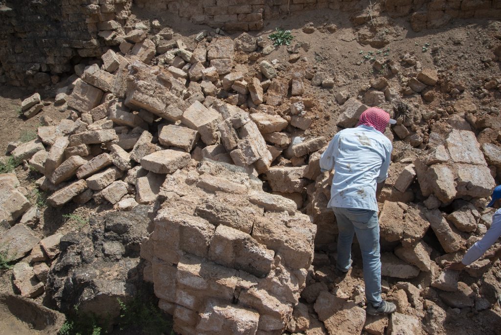
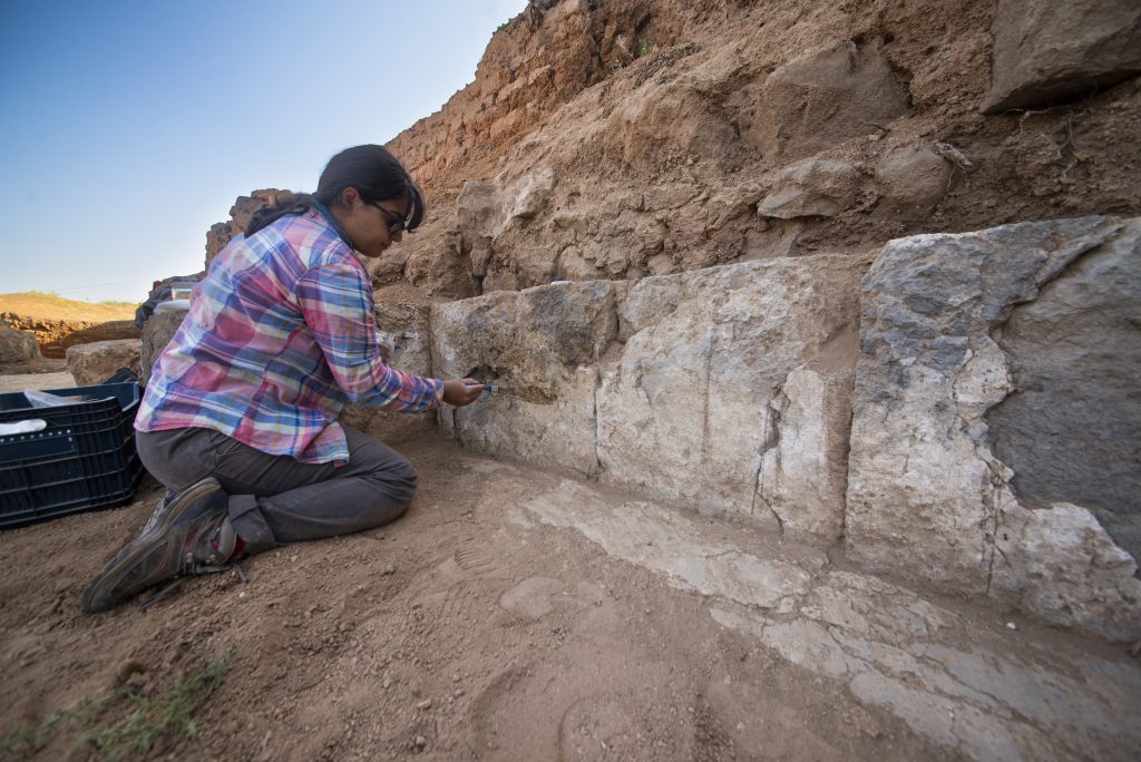
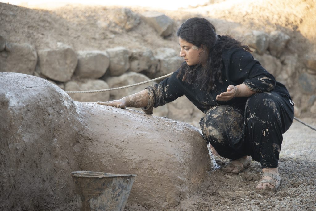
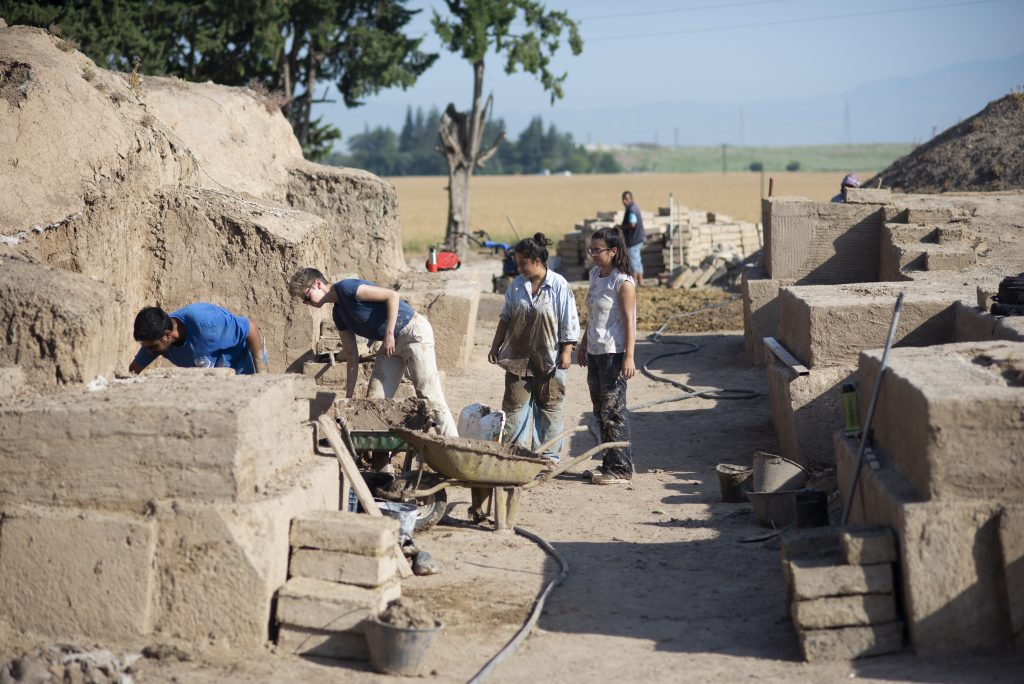
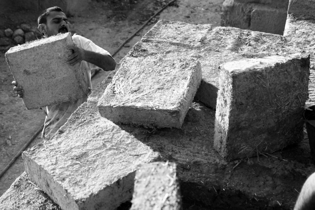
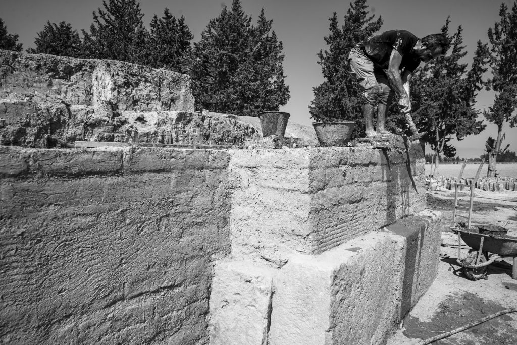
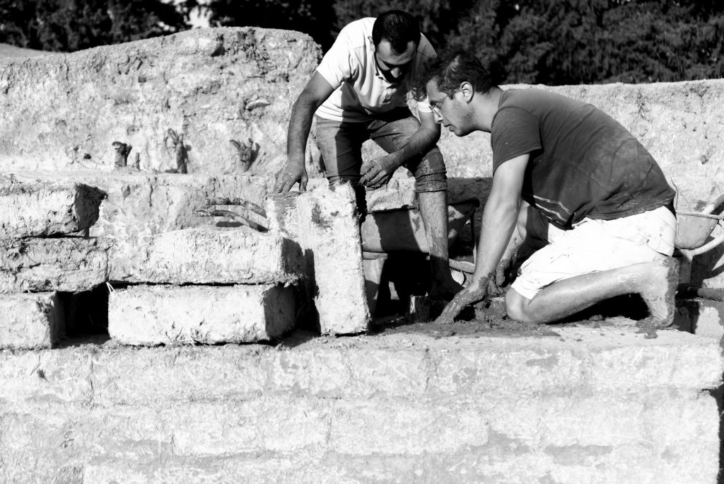
 The American Society of Overseas Research (ASOR) is a non-profit organization whose mission is to initiate, encourage, and support research into, and public understanding of, the history and cultures of the Near East and wider Mediterranean world, from the earliest times. Founded in 1900, ASOR has 54 consortium institutions, more than 2,200 individual members, and over 16,500 Friends. When the tangible remains of history and cultures are lost due to theft, war, climate change, and other catastrophes, ASOR’s ability to fulfill its mission is diminished. Therefore, ASOR developed the Cultural Heritage Initiatives (ASOR CHI) to protect, preserve, and present to the public the historic and cultural heritage and to raise awareness of its degradation. Through cooperative agreements with the U.S. Department of State, and generous support of non-federal organizations and donors, current ASOR CHI projects include education and stewardship programs in North Africa and the Middle East.
ASOR is looking to strengthen and expand its efforts by hiring a Cultural Heritage Programs Manager to work with the two co-directors of ASOR CHI in overseeing and administering the grants process, including identifying, developing, and writing new grant proposals. ASOR currently has 9 full-time and 7 part-time team members, who contribute to but do not work exclusively on cultural heritage projects.
The ASOR Cultural Heritage Programs Manager will ensure the successful implementation of ASOR’s program to protect, preserve, and present to the public the cultural heritage of the Near East and wider Mediterranean. The successful candidate will perform a wide variety of duties necessary for grants development and for proper program implementation, management, and monitoring, in coordination with ASOR leadership and ASOR’s Cultural Heritage Committee.
Review of applications will begin on January 8, 2024, and continue until the position is filled. To apply, send an e-mail with a letter of interest and CV or resume to programs@asor.org. Please put “CH Programs Manager application” in the e-mail subject line.
Responsibilities
Qualifications/Preferred Skills
Job Specifics

Pp. 256–265: “Honoring a Legacy, Inviting a New Generation: A Very Brief Introduction to the Stamp Seals from the Southern Levant Project,” by Christoph Uehlinger
The aim of this introductory article is threefold: (1) to situate the Stamp Seals from the Southern Levant (SSSL) project in the broader history of twentieth-century glyptic research, especially with regard to Othmar Keel’s multivolume Corpus of Stamp Seals from Palestine/Israel launched in the 1980s; (2) to explain the SSSL project’s research design as a strategic response to that unfinished initiative, the intrinsic potential of stamp seals research, and the demands of a specific funding opportunity that emphasizes interdisciplinarity; (3) to consider SSSL as a trans-generational project, attentive to both transmission and innovation. The digital humanities transition offers crucial opportunities and challenges regarding all three aspects.
ASOR Members with online access: log into ASOR’s Online Portal here. Once logged in, click the JOURNALS tab in the top navigation bar. Tutorials for how to log in to the Online Portal as well as how to navigate to the Portal Journals page can be found here.

Pp. 266–273: “A Tale of Twelve Thousand Cards: Stamp Seals’ Scholarship History with Social-Material Lenses,” by Silas Klein Cardoso
This article discusses the cognitive influence of cataloging tools in the stamp seals research project carried out between 1981–2013 at the Department of Biblical Studies of the University of Fribourg, Switzerland. As visual knowledge tools, the roughly twelve thousand index cards used by the Fribourg school helped to analyze, translate, and deconstruct visual artifacts into historical/archaeological data in the form of textual descriptions. In terms of media theory, the process entailed the translation of structural (nonlinear to linear), cognitive (synthetic to consecutive), and syntactical (dense to nondense) features. The semiotic analysis of the cards seen against the group’s socio-academic context shows that the cards were not only central methodologically but supported the group’s conceptual and methodological transition with direct outcomes in their historiography. The case study thus addresses an important issue in and for digital humanities, namely the conceptual role of knowledge tools in scholarship interpreting the past.
ASOR Members with online access: log into ASOR’s Online Portal here. Once logged in, click the JOURNALS tab in the top navigation bar. Tutorials for how to log in to the Online Portal as well as how to navigate to the Portal Journals page can be found here.

Pp. 274-283: “The Corpus of Stamp Seals from the Southern Levant Database: A New Research Tool for Glyptic Studies,” by Stefan Münger, Nadia Ben-Marzouk, Ben Greet, and Ido Koch
The Corpus of Stamp Seals from the Southern Levant (CSSL) database comprises some twelve thousand items from controlled excavations in Israel, Palestine, and Jordan, transforming and bringing to completion Othmar Keel’s pioneering vision to publish all seals and sealings from the region. The CSSL platform not only represents a newly available digital research tool for southern Levantine studies and related fields, but also aims at exploring innovative approaches to advance the digital study of glyptic more broadly. As the SNSF-funded Sinergia project Stamp Seals from the Southern Levant (SSSL) completes its goal, we ask: What comes next? This article provides an overview of the CSSL database; situates this new resource alongside other contemporary digital tools for the study of glyptic; and briefly reflects on the possibilities for more collaboration and integration across digital humanities projects.
ASOR Members with online access: log into ASOR’s Online Portal here. Once logged in, click the JOURNALS tab in the top navigation bar. Tutorials for how to log in to the Online Portal as well as how to navigate to the Portal Journals page can be found here.

Pp. 284–290: “New Precedents and Insights from Stamp Seal Photography,” by Ben Greet
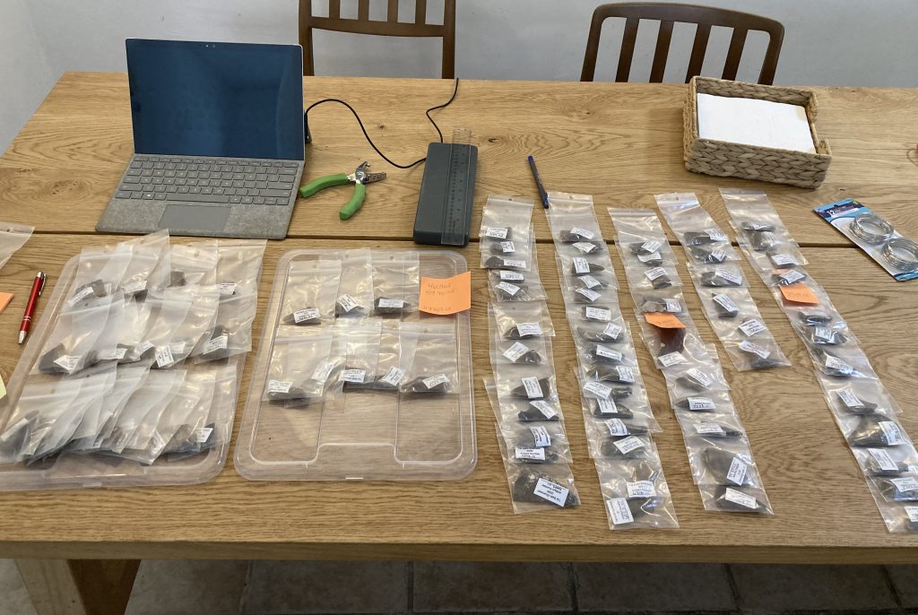
As part of the Stamp Seals from the Southern Levant (SSSL) project, a program of photography of ca. 1150 stamp seals and seal impressions was undertaken over the course of 2022. Through the implementation of this large-scale photography program, two aspects came to the fore: (1) the necessity of publishing our photographic methodology to give context to the images of these stamp seals and seal impressions; and (2) several new insights into the seals were gained from this program concerning their material identification, perforation forms, and misalignment of base iconography. This article presents the publication of our photographic methodology, which we hope will not only serve to counteract potential misinterpretations of stamp seals and seal impressions from the region (e.g., color, orientation), but also set a precedent for the transparent discussion of these photographic processes in the future.
ASOR Members with online access: log into ASOR’s Online Portal here. Once logged in, click the JOURNALS tab in the top navigation bar. Tutorials for how to log in to the Online Portal as well as how to navigate to the Portal Journals page can be found here.

Pp. 292–301: “Some Highlights in Local versus Regional Glyptic Consumption in the Southern Levant during the Iron I,” by Nadia Ben-Marzouk
The southern Levant comprises a patchwork of diverse landscapes and communities whose connectivity fluctuated with the reorganization and termination of various economic, political, and social networks, at times expressing more similarity than difference among sites and regions. During the Iron I, communities in the southern Levant experienced the dissolution of Egypt’s colonial network, resulting in a range of responses. Building from previous research, this article utilizes the newly developed Corpus of Stamp Seals from the Southern Levant database to survey all stamp seals from excavated contexts dated to the Iron I to explore how the withdrawal of Egyptian power from the region affected the consumption of stamp seal amulets related to seal type, iconography, and stylistic date of production. Some highlights from that study are presented here to situate consumption practices within the broader landscape and to nuance our understanding of community response in the wake of political reorganization.
ASOR Members with online access: log into ASOR’s Online Portal here. Once logged in, click the JOURNALS tab in the top navigation bar. Tutorials for how to log in to the Online Portal as well as how to navigate to the Portal Journals page can be found here.

Pp. 302–310: “Hebrew Seals: Updated Corpus and Typology,” by Eythan Levy
The number of provenanced Iron Age Hebrew seals and seal impressions has seen a dramatic increase during the past decades. Avigad and Sass’s classical Corpus of West Semitic Stamp Seals, published in 1997, comprised 130 provenanced Iron Age Hebrew seals (including seals known only from impressions). Today, this number has risen to over 300 items, mostly owing to a wealth of new material from recent excavations in Jerusalem. The completion of the Stamp Seals of the Southern Levant (SSSL) project offers an opportunity to look back at the corpus of provenanced Hebrew seals and to reflect on the nature of the material. This article comprises a short introduction to Hebrew glyptics, a survey of the updated corpus, and a new typology of Hebrew seals.
ASOR Members with online access: log into ASOR’s Online Portal here. Once logged in, click the JOURNALS tab in the top navigation bar. Tutorials for how to log in to the Online Portal as well as how to navigate to the Portal Journals page can be found here.