Fieldwork Report: Sydney Pickens

pickens-banner

A Day in the Life at Çadır Höyük

Sydney A. Pickens, 2026 Strange/Midkiff Families Scholarship Recipient

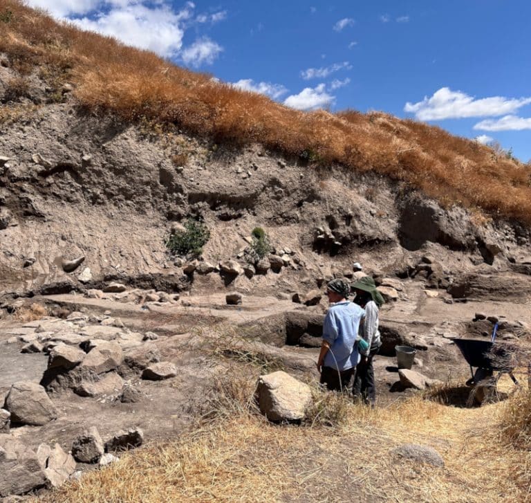
I spent the month of July in Türkiye as a member of the Çadır Höyük Archaeological Excavation Project, located near Peyniryemez Village in Sorgun, Yozgat Province. Çadır Höyük is a tell, or artificial mound, in central Türkiye that was formed by 6,000 years of human settlement. The project explores how small rural communities adapted their subsistence strategies in response to environmental change and imperial control. During my time at the site, I supported this exploration through systematic excavation, documentation, and laboratory analysis.  

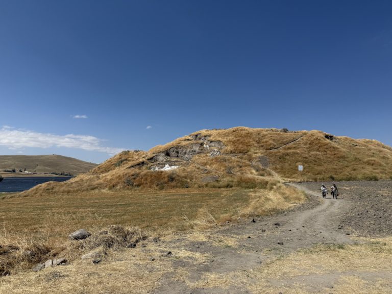
The Çadir Höyük Archaeological Mound, facing south.

Up With the Sun 

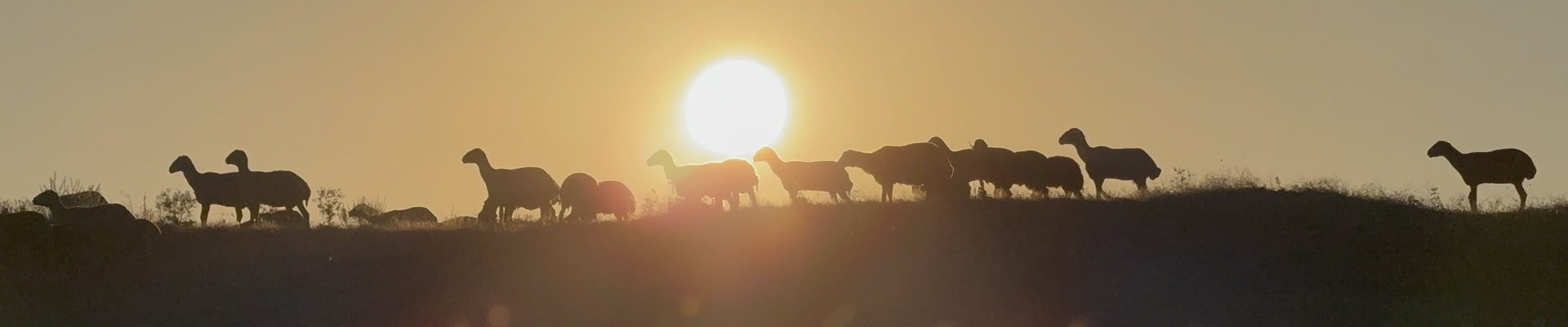
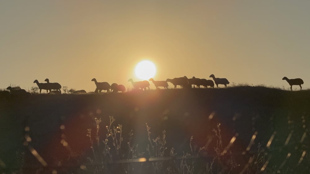
Most mornings, my eyes would flutter open at 5:15am in response to the familiar cadence of Donnie Trumpet’s Nothing Came to Me. On other days, it was the 5:00am recitation of the Adhan—the Islamic call to prayer—reverberating throughout the village. Yet on other days—and by far my favorite—it was the jangling bells of bleating sheep being herded across the central Anatolian hills.  

Sheep at sunrise.
Sheep at sunrise.

My subsequent morning routine was the same most days: drag self out of bed, wash face, brush teeth, get dressed, indulge in Çocokrem spread on bread—sometimes with a sprinkle of granola for an added flare—out the door and in the van by 6:00am, on site ready to work by 6:15am.  

On Site 

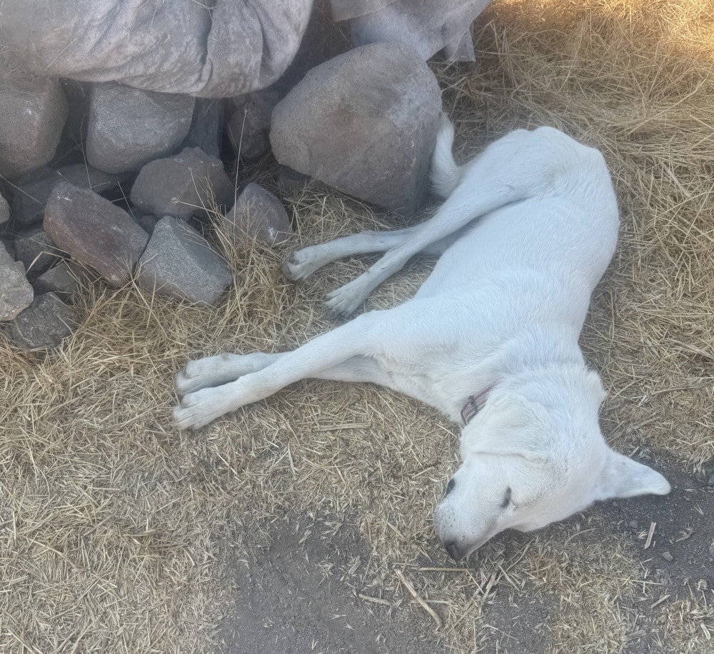
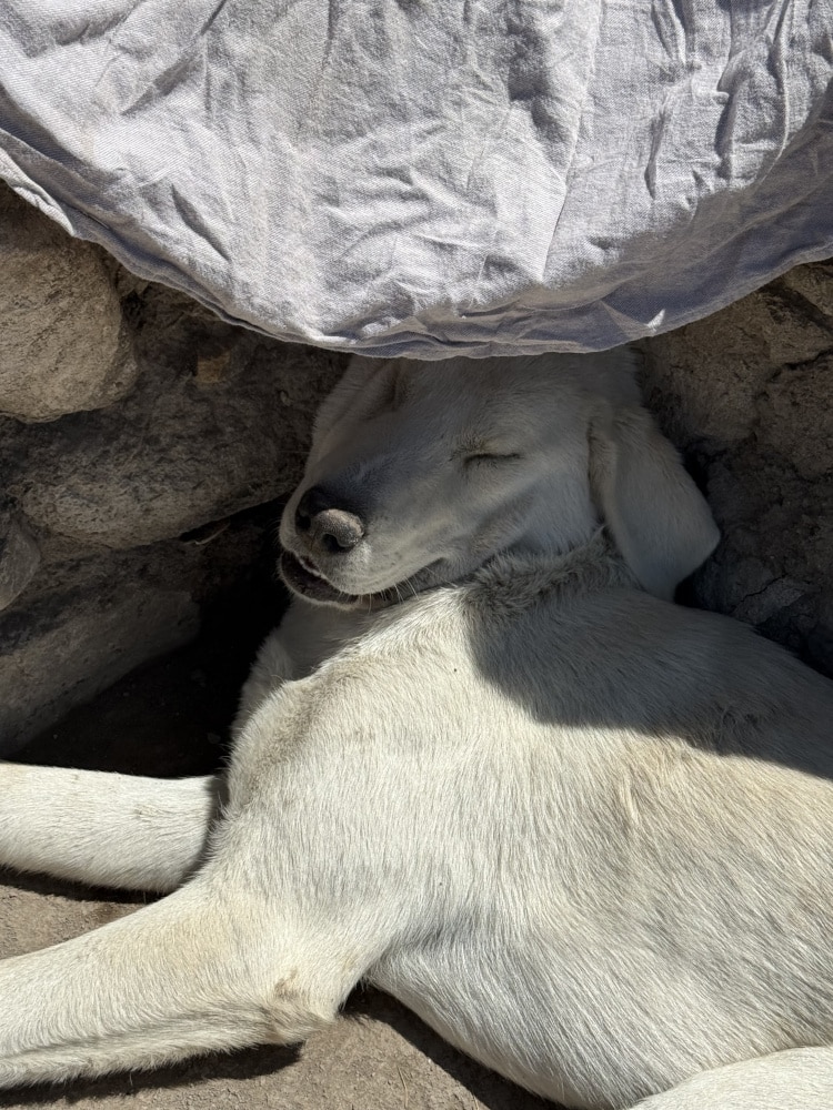
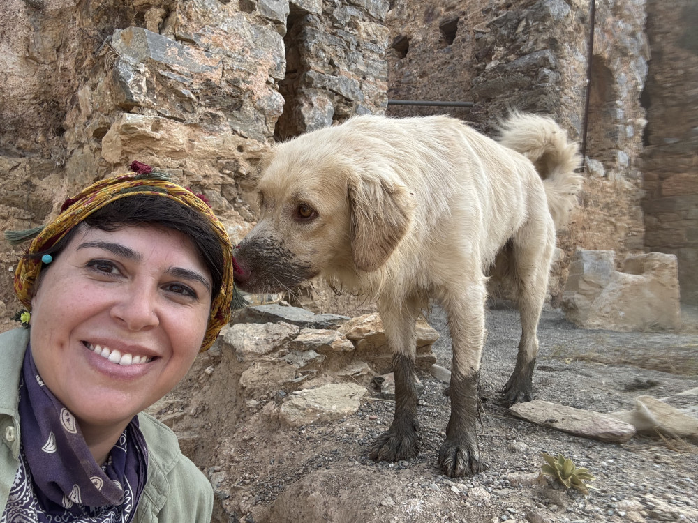
The arrival at the Çadır Höyük Archaeological Mound is stunning. My first morning on site and each morning thereafter, I beamed as I watched the sun dance across the lake. Making its first reappearance at the site in nearly a decade, the lake foreshadowed a productive field season and simultaneously affirmed the project’s emphasis on the impacts of environmental change. On our hike up and around the mound each morning, we were greeted by the wagging tail of Paşa, our friendly neighborhood Anatolian Shepard and adopted mascot for the project. More often than not, he would follow us up the mound, find a nice shady spot, and oversee excavation progress.  

Paşa, trench overlord.

Paşa, trench overlord.

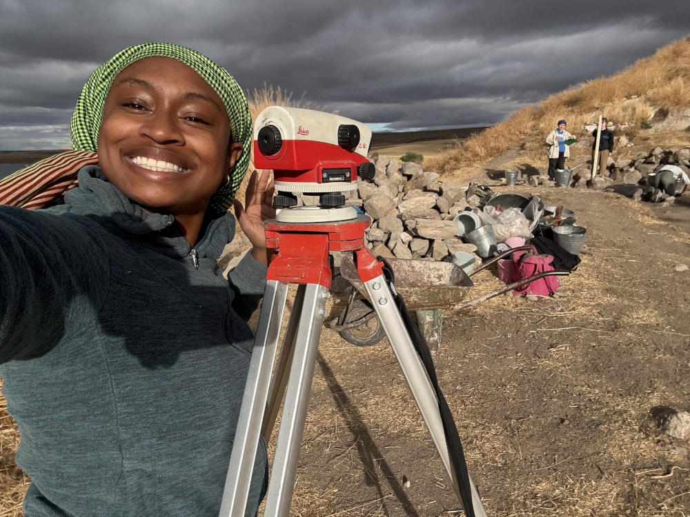
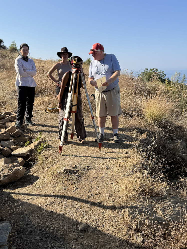
I spent the first two weeks of the project working in the Late Chalcolithic Period (ca. 4250–3000 BCE) trenches SES-1, SES-2, and LSS-5 training intensively under the supervision of my advisor, Dr. Laurel Darcy Hackley. Working at the bottom of the mound demanded that I move slowly, work carefully, and notice the most minute changes in soil textures and colors because removing the smallest 1–2cm layer could destroy hundreds of years of the occupational record. It taught me to look intently, ask questions, and make possible meaning out of potential traces until additional evidence appeared to support or contrast it. It activated my imagination, pushing me to see what was, and served as great archaeological skills training.  

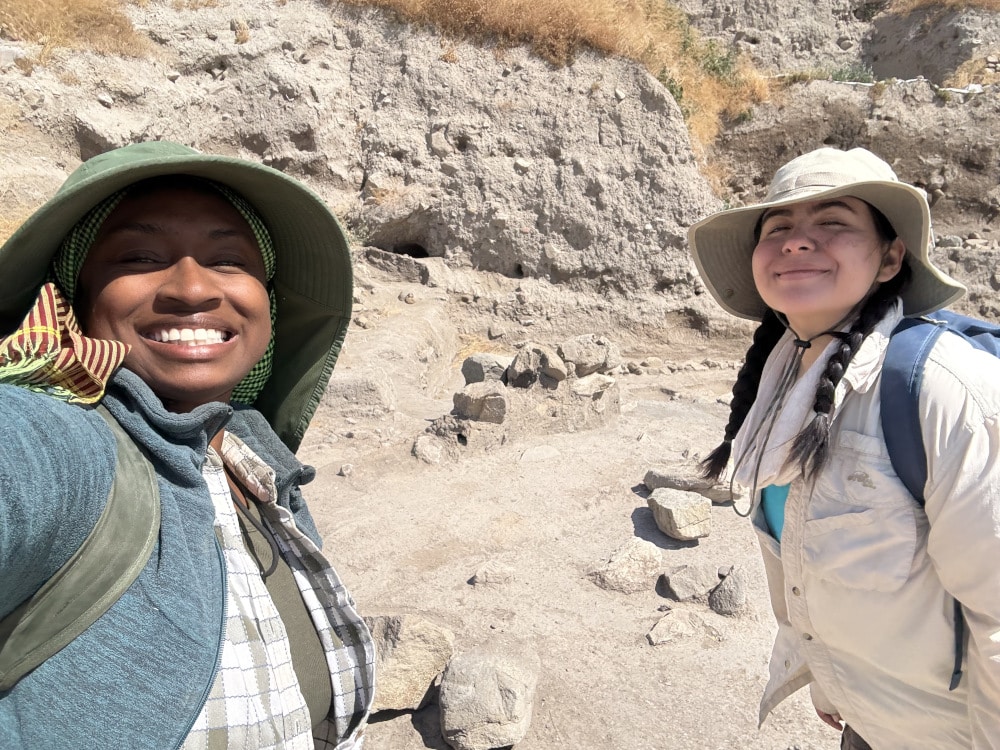
Darcy and I discussing the plan of action in LSS-5.

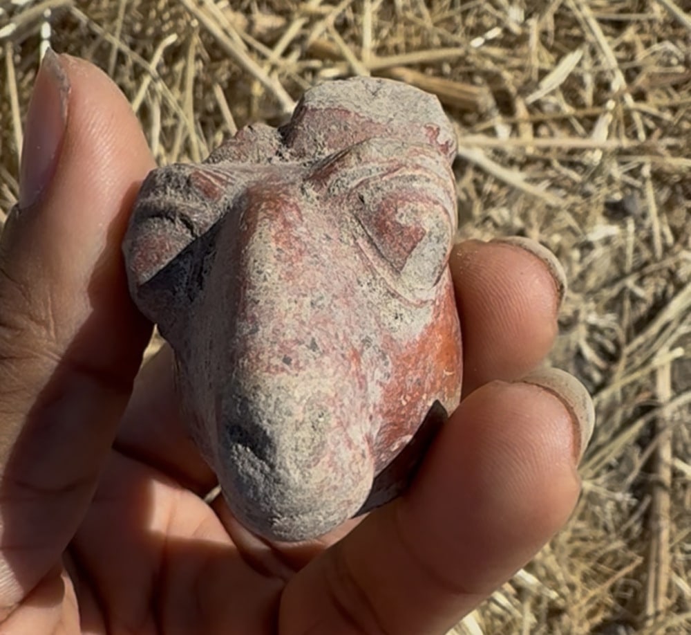
When week three rolled around and I was catapulted into the role of co-trench supervisor with my colleague Haleigh Keane, I was nervous, but ready. We resumed excavations of LSS-8, a previously opened 4×10 meter trench in southwestern corner of the tell spanning the Late Chalcolithic and Early Bronze Ages. Our primary goals were to investigate a pit feature in the northwest corner of the trench and to remove walls that had been previously documented in hopes of beginning excavations of the next occupation phase. Our most exciting find came from that pit—a small ceramic sheep’s head, dated firmly to the Hittite period by its wide eyes, pronounced nose, and quirky smile. 

Haleigh and I showing our work in LSS-8 on my last day in the field, after partially removing feature walls.
Hittite sheep head recovered from the pit in LSS-8.

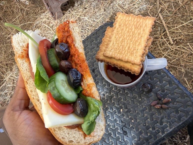
At 9am, the call for paydos! would reverberate around the site as the message spread like wildfire from trench to trench. Time to head down the mound to the break tent for second breakfast, the cherished mid-morning meal following hours of heavy physical labor. The project Bekçi, Ali, orchestrated the production, circulating all the sandwich fixings around the massive circle of excavators. First came the bread, followed by the spreads—mustard, mayo, and tomato. I always opted for a mustard and tomato combo. Next came the sliced salami and cheese, followed by tomato, cucumber, and leafy greens, and finally, the star of the show, black olives. YUM.  

The Second Breakfast of Champions.

After second breakfast, we’d hike back up the mound to resume fieldwork until 12:30pm. Thereafter we’d give the trench a good sweep, clean up the site, and end the field day by 1pm. I’d customarily take the van home, hop in the shower, and squeeze in a pre-lunch nap if I could manage it. 

After the Field 

“Yemeeeeek!” Music to my ears. Like clockwork, people would begin filing out of their rooms and into the kitchen to help carry out food and set tables. At some point during lunch, the Project Director, Dr. Sharon Steadman would communicate any announcements for the day and reveal what time lab hours would begin: 4:30 or 5pm. We all hoped for 5pm; the fate of our post-lunch naps depended on it. When 4:30 or 5pm rolled around, we’d head to the lab to receive our assignments and begin work. I rotated lab tasks during the first two weeks or so to get oriented to the project. Pottery washing became a welcome rest and respite from the late afternoon heat. Seated beneath the shade of plum trees and laundry hanging on the line, I chatted with team members with the backdrop of cows on the move walking through the village streets. 

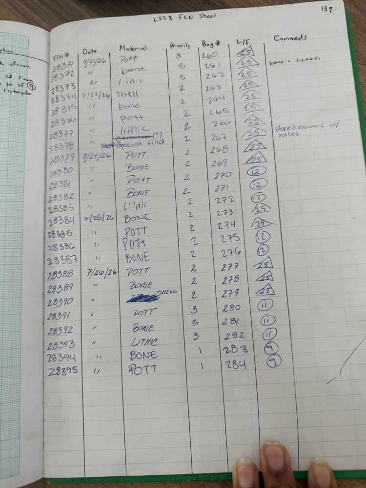
Once I assumed the role of trench supervisor, lab hours took the shape of completing the day’s field notes, documenting field catalog numbers (FCNs) and objects on feature and locus sheets and making plans for the next day’s excavations. 

FCN sheet for LSS-8.

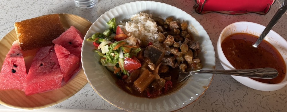
The evening call for dinner came at 7pm. Again, the entire dig site would burst with excited energy, looking forward to the culinary creations of our dig chef, Tuğba, and the pastry stylings of her daughter and sous chef, Buğlem. The meals were by far the best I’ve ever had on any excavation project.  

Examples of Tuğba and Buğlem’s culinary creations.

We’d end the night with laughs over çay, board and/or card games, and sometimes even a Tango, a Lindy Hop, or two. By 10pm, I was in bed and ready to start it all again the next morning.  

Sydney A. Pickens graduated from the University of Memphis in August with Master’s degree in Art History, concentrating in Egyptian Art and Archaeology. She has since matriculated as a doctoral student at the University of California, Los Angeles (UCLA), where she is pursuing a PhD in Ancient Egyptian and Nubian Studies.  

Want to help more students and early career archaeologists get into the field? Donate to the cause today by selecting “Fieldwork Scholarships” as your gift purpose!

Fieldwork Report: Leticia Rodriguez

rodriguezbanner-1920x400

Fieldwork Report: Leticia Rodriguez

Leticia Rodriguez, 2025 Strange/Midkiff Families Scholarship Recipient

In 2005, excavations began at the site of Antiochia ad Cragum, a city founded in the mid-first century CE and located along the rugged coastline of western Rough Cilicia (modern Türkiye). Among other civic and religious structures, Antiochia ad Cragum is home to three baths: a poorly preserved bath at the foot of the Anticragus, the Great Bath located within the city, and the Small Bath. The Small Bath, dated to the second century CE, is located about 50 meters east from the main entry point to the city, and just off the ancient, primary coastal road. In a 1967 survey of buildings at Antiochia ad Cragum, Gerhard Huber recorded a bath complex with a central hall, and banks of rooms on the north and south sides: this type of bath complex is one known from other sites in Rough Cilicia, such as at Anamur and Syedra.

With Huber’s plan as a guide, we began excavations at the Small Bath in 2018. In seven seasons of excavation, we have begun to understand the bath in its original form, adding to, and in some cases correcting Huber’s plan, and we have revealed evidence that provides a picture of how the complex was used in later periods when it no longer acted as a bathing facility, and how these functions contributed to Antiochia’s role in the later Roman economy in the region.

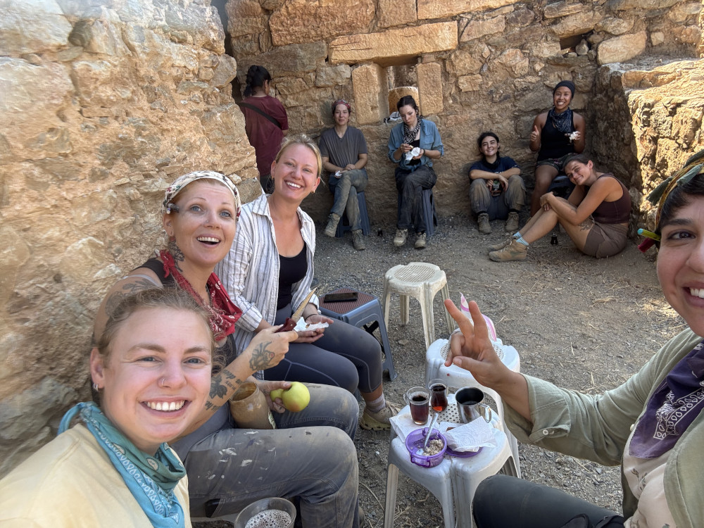
Tea break in the Small Bath.

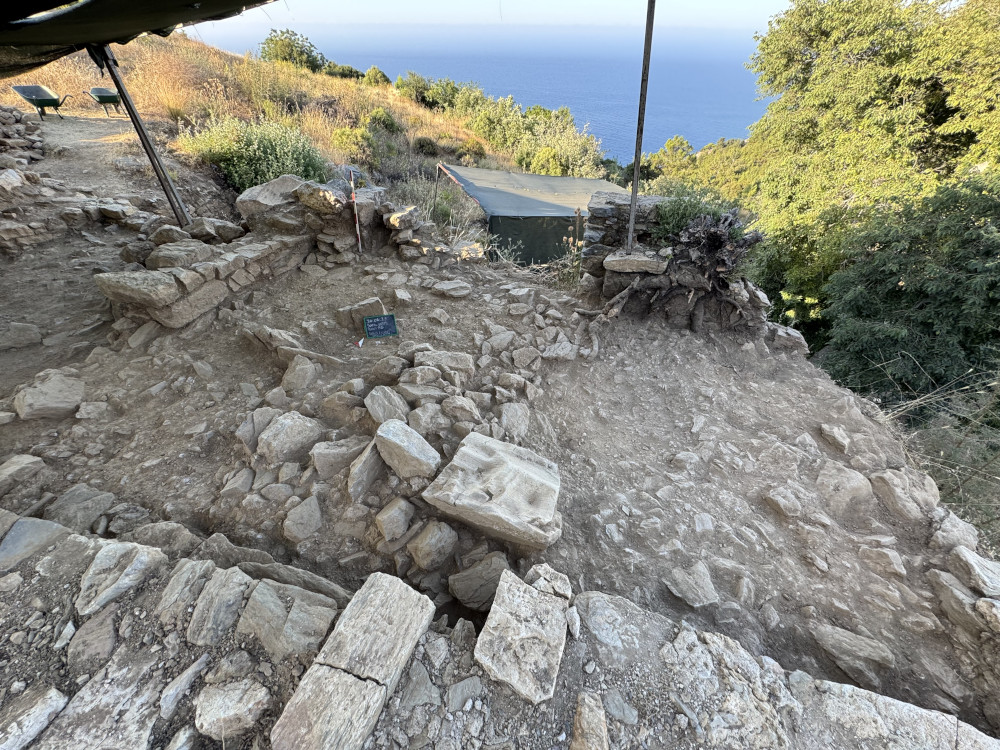
Indeed, the 2025 season focused primarily on exploring the bath’s later industrial phases. In previous seasons we discovered a ceramic kiln built adjacent to the bath’s main entrance corridor, and evidence for wine and olive oil production within the walls of the bath’s main hall and cold rooms (explored in an article by this author and Emlyn Dodd, in preparation); in the 2024 season we discovered in the south bank of rooms a glass furnace. The goals of this summer were to complete excavation of the glass furnace, and open the westernmost room on the south bank (Room 8), the room in closest proximity to the presumed location of the bath’s praefurnium. Investigations here did not disappoint as we uncovered what appear to be a series of small kilns built seemingly in succession. With a small team and the season coming to end, however, we were not able to complete excavation of this particular area, but we look forward to doing so next year.

Room 8 prior to exposure of kilns.

Antiochia ad Cragum is a field school that has historically brought in students and volunteers from North America, Europe, Asia and Australia. As acting supervisor of the Small Bath excavations since 2021, and now Field Director of the site, I have had the privilege of teaching students field techniques and recording. It has been rewarding to guide undergraduates and graduate students as they explore their own research questions related to our excavations at the Small Bath through poster projects and papers, while also exploring my own research interests in collaboration with Turkish and non-Turkish colleagues in the form of publications and lectures for the public and academic communities. 

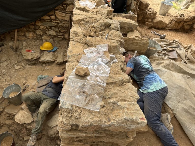
Students excavating a presumed flue of the glass furnace.
Students learning how to take elevations with the help of Project Director Dr Michael Hoff.

While I have done this in my official roles with the project, I am also a mom with two small children who has had to bring my kids with me to Türkiye every season. I have many colleagues who can identify with this position, and who know well that it can be quite complicated for many reasons, including financial. ASOR recognizes that such personal factors should not be a barrier to academic research and growth, especially to early-career scholars such as myself; I am grateful to ASOR and a summer fieldwork scholarship made possible by the late Mrs. Carolyn Midkiff Strange for the support that allowed me to continue my work at Antiochia ad Cragum for the 2025 season and, I hope, many seasons to come.          

With the other Small Bath supervisor.

Leticia R. Rodriguez is an Assistant Professor of Art History, Ancient Mediterranean and Middle East at the University of Houston. She has excavated at Antiochia ad Cragum since 2019.

Want to help more students and early career archaeologists get into the field? Donate to the cause today by selecting “Fieldwork Scholarships” as your gift purpose!

Collections Fellowship Report: Irene Romano

2026 Study of Collections Fellowship Report

Irene Bald Romano, School of Art and School of Anthropology, University of Arizona

I am pleased to present this final report of the results of my research funded in part by ASOR’s Study of Collections Fellowship during the summer of 2026. This research project is focused on a group of Late Hellenistic (2nd or early 1st centuries BCE) Greek marble sculptures excavated between 2016 and 2021 in a large Parthian administrative building or manor house (Area E Building) in Qalatga Darband, a fortified ancient town in northern Mesopotamia (eastern Iraqi Kurdistan). In November 2023, I was invited by the excavator, Dr. John MacGinnis, to study and publish these sculptures, now housed in Rania and in the Slemani Museum in Sulaymaniyah, Kurdistan, and in October 2025, I had the opportunity to travel to Kurdistan to examine the material.

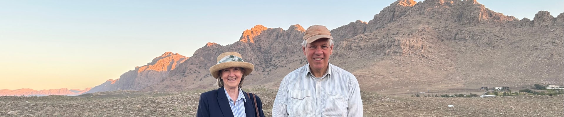
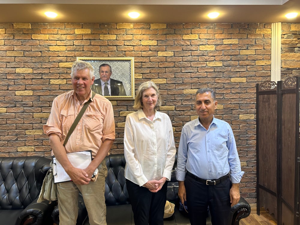
Dr. John MacGinnis, Dr. Irene Bald Romano, Dr. Hashim Hama Abdullah, Director Slemani Museum Oct 2025.
Dr. John MacGinnis, Dr. Irene Bald Romano, and Dr. Hashim Hama Abdullah, Head of the Directorate of Antiquities of Sulaymaniyah, Iraqi Kurdistan, October 2025.

The group includes around 70 marble fragments, comprising at least 10-11 statuettes that are purely Greek in style, scale, themes, material (white marble), and manufacturing techniques, forming a consistent corpus that was likely acquired on a single occasion. It is very rare to find such a large group of Greek sculptures in this part of the ancient world, and key research questions relate to where and by whom were they manufactured, how did they come to be in this particular town and building, and how were they used. There is evidence from parallel examples of sculptures of this period that these statuettes were probably manufactured in the Greek islands, possibly Rhodes or Delos, and transported east. They may have been booty taken during the wars between the Seleucid Greeks and the Parthians in the 2nd century BCE or collected by a philhellenic Parthian elite (a royal family member or governor or the like) who resided in the Area E Building.

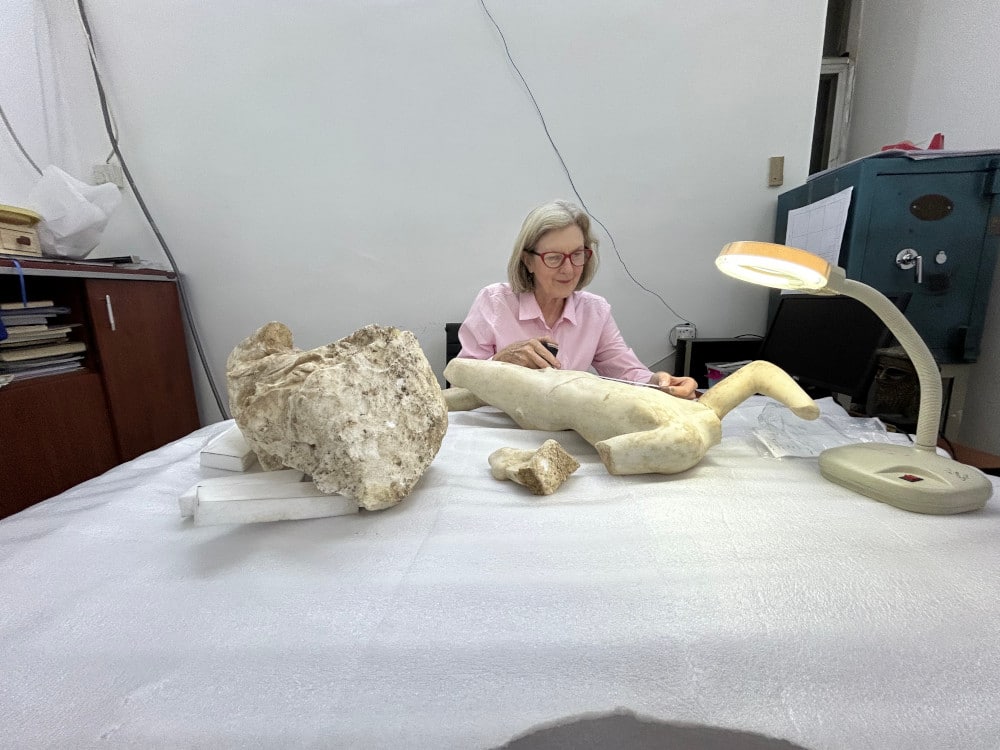
Irene Bald Romano study sculptures from Qalatga Darband in Slemani Museum October 2025.
Irene Bald Romano studies sculptures from Qalatga Darband in the Slemani Museum, Sulaymaniyah, October 2025.

Critical at this stage of my research leading to the final publication of these sculptures are: 1) analysis of the marble which is now being conducted by scientists at the Austrian Academy of Sciences in Vienna; 2) examination of similar sculptures of this period in key places such as Delos, Rhodes, and Kos, which I conducted in fall 2025 and this past summer; and 3) library research to identify comparable Greek material. For the latter, with my travel to and living expenses in Athens largely supported by the ASOR Fellowship, I used the unparalleled Blegen Library of the American School of Classical Studies at Athens. I have completed a draft of a manuscript for a long article or book-length publication, to be co-authored with Dr. MacGinnis. We are awaiting the results of the analysis of the marble from colleagues at the Austrian Academy of Sciences which will be integrated into the manuscript with an appendix added with the full scientific information. We hope to submit the manuscript to a press before the end of the calendar year.

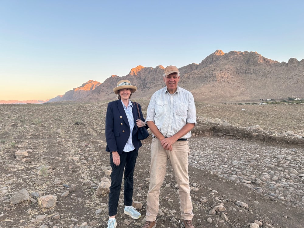
Irene Bald Romano and John MacGinnis at Qalatga Darband, Kurdistan October 2025.
Irene Bald Romano and John MacGinnis at Qalatga Darband, Iraqi Kurdistan, October 2025.

I am extremely grateful to ASOR and its donors for awarding me this fellowship to further my research on a topic that I believe is important from many perspectives. These finds lie at the nexus of critical moments in Late Hellenistic and Roman history in the East, adding to our picture of cultural interactions among minority Greek populations, the Parthians and their vassal kingdoms, and the Romans in the region. I am also deeply appreciative to John MacGinnis and many colleagues who have assisted me with this project, including those in Kurdistan who provided overwhelmingly enthusiastic support. 

Shepard Urgent Action Grant Report: Late Neolithic Settlement at Khramis Didi Gora, Georgia

Shepard Urgent Action Grant: Emergency Excavation for Data Collection from the Late Neolithic Settlement at Khramis Didi Gora, Georgia

Mariam Eloshvili (Ilia State University)

Khramis Didi Gora is one of the largest and most significant Neolithic settlements in the South Caucasus. Situated on the Kvemo Kartli Plain in southern Georgia, within the middle Kura River valley, the site belongs to the Shomu–Shulaveri culture, the earliest farming communities of the region dating to the sixth millennium BC. Together with sites such as Shulaveris Gora, Gadachrili Gora, Arukhlo, Imiris Gora, Göytepe, Hacı Elamxanlı Tepe, and Mentesh Tepe, Khramis Didi Gora forms an essential component of the archaeological record documenting the emergence of sedentary farming societies in the South Caucasus.

A map providing the location of Khramis Didi Gora.

Excavated between 1972 and 1986 under the direction of Dr. Alexander Javakhishvili and later Dr. Tengiz Kiguradze, the site yielded one of the deepest Neolithic stratigraphic sequences in Georgia, with nearly eleven metres of cultural deposits and nine architectural horizons. Despite its importance, much of the excavation remained unpublished, while the exposed excavation trench was left open for almost four decades. During this period, natural erosion, vegetation growth, and repeated seasonal weathering threatened both the preservation of the exposed archaeological deposits and the invaluable stratigraphic information they contained.

The renewed excavations at Khramis Didi Gora were initiated in 2023 as an emergency rescue project in response to the ongoing expansion of a modern cemetery, which had already covered more than one-third of the Neolithic mound. As new graves continued to destroy intact archaeological deposits, it became essential to document the site’s significance and demonstrate its outstanding scientific value. The results of the project provided the basis for protecting and fencing the remaining archaeological area, helping to prevent further destruction of one of the most important Neolithic settlements in the South Caucasus.

Khramis Didi Gora and the distribution of modern cemetery.
Khramis Didi Gora and the distribution of the modern cemetery.

The ASOR Shepard Urgent Action Grant provided a unique opportunity to preserve this endangered archaeological resource while simultaneously applying modern archaeological methods to one of the most important legacy excavations in the Caucasus. Rather than reopening extensive excavation areas, the project concentrated on the rescue documentation and scientific reassessment of the southern profile of the original trench, generating new archaeological data while preserving information that would otherwise have continued to deteriorate.

Project Objectives

The project was designed around several interconnected objectives.

The first objective was the emergency documentation and preservation of the exposed southern profile through systematic cleaning, recording, and digital documentation. Because the profile represented almost forty years of natural degradation, immediate intervention was necessary before further erosion resulted in the irreversible loss of archaeological information.

The second objective was to establish a new high-resolution stratigraphic sequence for the investigated section of the site. Previous excavations had identified nine construction horizons, but many relationships between architectural features had never been documented according to contemporary stratigraphic recording standards.

A third objective involved developing an updated chronological framework through AMS radiocarbon dating. Only three radiocarbon determinations had previously been available for Khramis Didi Gora, limiting regional chronological comparisons. The acquisition of new data represented one of the project’s highest priorities.

Finally, the project aimed to reassess the archaeological assemblages recovered from the renewed investigations, including ceramics, lithics, and bone artefacts, and integrate the site into current international discussions concerning Neolithic settlement development, technological innovation, and the spread of early farming communities across the South Caucasus.
Fieldwork and Documentation

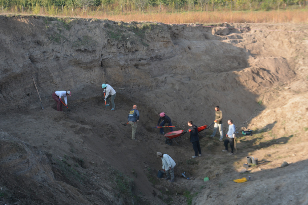
Field investigations commenced with the careful removal of vegetation, root systems, and decades of accumulated collapse deposits covering the southern profile. Once cleaned, the profile revealed an exceptionally well-preserved sequence exceeding six metres in height and extending across approximately thirty metres of the original excavation trench.

A seventeen-metre central section was selected for intensive investigation owing to its outstanding state of preservation and stratigraphic clarity. This section was divided into south-western and south-eastern sectors, allowing each stratigraphic unit to be documented individually. Contexts were defined following the principles of archaeological stratigraphy, and their relationships were established through the construction of a Harris Matrix.

Cleaning process of the old trench where soil has accumulated for approximately 40 years.
Aerial view of the cleaned trench and Southern profile.

All exposed archaeological features were photographed, measured, described, and digitally documented using drone photography, photogrammetry, GIS, and traditional archaeological drawing techniques. Elevations of each sampled context were recorded using total station surveying equipment, ensuring precise spatial control for future analyses.

During fieldwork, thirty bioarchaeological samples were collected from secure stratigraphic contexts, including charcoal and animal bone. Ten samples representing key occupational phases were selected for AMS radiocarbon dating, significantly expanding the chronological dataset available for the site.

Sampling process from the layers of the southern Profile.
Sampling process from the layers of the Southern profile.
Sifting process of the soil.

Stratigraphic Results

The renewed investigation demonstrated that the southern profile preserves a remarkably complex architectural sequence representing repeated cycles of construction, occupation, destruction, and rebuilding (Eloshvili, 2026).

Numerous mud-brick walls, compacted clay floors, plastered surfaces, hearth installations, burnt occupation layers, ash deposits, and architectural collapse horizons were identified throughout both sectors of the profile. Rather than representing isolated structures, these remains document the gradual development of successive buildings and activity areas over several centuries (Eloshvili, 2026).

One of the most important observations concerns the architectural organisation of the settlement. The investigated profile indicates that construction was not carried out as a single settlement-wide rebuilding episode. Instead, individual buildings appear to have been demolished, reconstructed, and modified independently, producing a dynamic settlement characterised by overlapping occupational histories. Burnt deposits and courtyard surfaces suggest that open communal spaces coexisted alongside domestic structures, while multiple superimposed floor levels illustrate continuous maintenance and rebuilding throughout the occupation of the site (Eloshvili, 2026).

The new stratigraphic sequence provides a far more detailed understanding of settlement formation processes than previously available and establishes a reliable framework for future excavations elsewhere on the mound (Eloshvili, 2026).

Photogrammetry of the Southern profile.

Establishing a New Chronological Framework

Perhaps the most significant achievement of the project has been the development of a substantially revised chronological framework for Khramis Didi Gora (Eloshvili, 2026).

Eight new AMS radiocarbon dates, combined with the recalibration of three legacy determinations, have transformed our understanding of the site’s occupational history. The new results indicate that the investigated sector was occupied approximately between 5754 and 5369 cal BC, placing it firmly within the middle and later developmental stages of the Shomu–Shulaveri culture (Eloshvili, 2026).

The chronological evidence identifies at least three successive occupational phases represented within the investigated profile. Rather than indicating continuous uniform occupation, the radiocarbon sequence demonstrates gradual expansion and repeated rebuilding through time. Importantly, these dates correlate closely with chronological sequences established at other major Neolithic settlements, including Aknashen, Arukhlo, Göytepe, Gadachrili Gora, Mashavera Gora, Hacı Elamxanlı Tepe, and Mentesh Tepe (Eloshvili, 2026).

These new dates considerably improve the chronological resolution of the Caucasus Neolithic and establish Khramis Didi Gora as one of the most securely dated settlements within the regional sequence.

Drawing of the features and layers of the southern profile.
Drawing of the features and layers of the Southern profile, including approximate dates of occupation.

Material Culture

The archaeological assemblage recovered during the project provides valuable insights into the technological traditions and everyday activities of Neolithic communities.

The ceramic assemblage demonstrates considerable technological diversity, including multiple fabric groups distinguished by different tempering materials, manufacturing techniques, firing conditions, and decorative practices. The pottery reflects well-developed ceramic production traditions comparable with contemporary settlements across Georgia, Armenia, and Azerbaijan, illustrating the close cultural relationships that characterised the Shomu–Shulaveri horizon (Eloshvili, et al., 2027).

Lithic analysis revealed an extensive obsidian industry dominated by systematic blade production. Prepared cores, blades, bladelets, scrapers, racloirs, burins, sickle inserts, and retouched tools demonstrate highly organised lithic technology supported by sophisticated reduction strategies. Several sickle blades retain preserved bitumen hafting, providing direct evidence for composite harvesting tools associated with early agricultural practices (Eloshvili, et al., 2027).

The bone industry further illustrates technological specialisation within the settlement. Worked bone artefacts were manufactured primarily from domesticated animal remains using percussion, scraping, grinding, abrasion, and polishing techniques. Functional analyses indicate that pointed implements dominate the assemblage, reflecting activities associated with hide working, basketry, textile production, and other domestic crafts. Together, these artefacts provide important evidence for specialised household production and technological adaptation during the Neolithic (Eloshvili, et al., 2027).

Scientific Significance

The project represents the first comprehensive modern reassessment of Khramis Didi Gora in almost forty years. Beyond preserving a vulnerable archaeological resource, it has generated entirely new scientific data that fundamentally improves our understanding of one of the most important Neolithic settlements in the South Caucasus.

The integration of modern stratigraphic recording, digital documentation, AMS radiocarbon dating, and detailed material culture analyses demonstrates the remarkable research potential of legacy excavations. Rather than merely confirming previous interpretations, the project has refined the settlement’s chronology, clarified its architectural development, and placed Khramis Didi Gora within a much broader regional framework of Neolithic cultural development.

The results also contribute directly to wider discussions concerning the emergence of farming societies, architectural organisation, technological innovation, and interaction networks throughout the Caucasus and neighbouring regions of Southwest Asia.

Equally important, the project illustrates the value of targeted rescue investigations. By documenting archaeological deposits before further natural degradation occurred, the ASOR Shepard Urgent Action Grant has ensured that irreplaceable archaeological information has been preserved for future generations of researchers.

Dissemination and Scholarly Impact

The results of the 2023 project have already made a significant contribution to Neolithic research in the South Caucasus. Preliminary findings were presented at the 30th Annual Meeting of the European Association of Archaeologists (EAA 2024), where the project introduced the revised stratigraphic sequence and the new radiocarbon framework of Khramis Didi Gora to the international archaeological community. The presentation generated valuable discussion regarding Neolithic chronology, settlement formation, and the broader development of the Shomu–Shulaveri culture.

Calibrated radiocarbon dates from the 2023 and 1980 excavations plotted against the IntCal calibration curve.

The project has also resulted in substantial scholarly output. Two research articles have been prepared based on the ASOR-funded investigations. One article presents the revised stratigraphic sequence and updated radiocarbon chronology of the southern profile, while the second examines the archaeological assemblage recovered during the 2023 investigations. One of these studies is currently in press, while the other has been published. Together, these publications provide the first comprehensive modern reassessment of Khramis Didi Gora since the original excavations conducted between 1972 and 1986 and establish an important foundation for future research on the Neolithic of the South Caucasus.

Beyond publications, the project has created a comprehensive digital archive consisting of stratigraphic documentation, GIS datasets, photogrammetric models, and radiocarbon data that will serve as the basis for future investigations and heritage management of the site.

Long-Term Impact and Future Research

One of the most significant outcomes of the ASOR Shepard Urgent Action Grant has been its role in re-establishing active archaeological research at Khramis Didi Gora after nearly four decades. The success of the 2023 season demonstrated both the exceptional and outstanding scientific potential, providing the impetus for the continuation and expansion of the project.

Building directly upon the results of the ASOR-funded work, archaeological investigations resumed in 2025 with the opening of a new excavation trench in an area that had never previously been explored. This new phase of research is allowing us to investigate additional architectural remains, refine the settlement’s developmental sequence, and evaluate how the newly identified occupation phases relate to those documented in the southern profile.

Equally important has been the initiation of a long-term heritage management strategy aimed at protecting Khramis Didi Gora from ongoing disturbance. A substantial portion of the archaeological mound has long been occupied by a modern cemetery, severely limiting archaeological investigation and posing an increasing threat to the preservation of the site. Following the 2023 project, discussions were initiated with local authorities and the cultural heritage agency to establish a clear separation between the archaeological monument and the active cemetery. This process has now begun and represents a major step toward safeguarding the surviving archaeological deposits. The creation of a protected archaeological zone will allow future excavations to proceed in previously inaccessible areas while ensuring the long-term preservation of one of the South Caucasus’ most important Neolithic settlements.

Future research will continue to integrate archaeological excavation with geoarchaeological, bioarchaeological, archaeobotanical, zooarchaeological, and chronological analyses. Combined with GIS-based spatial modelling, drone photogrammetry, and additional radiocarbon dating, these investigations aim to reconstruct the complete developmental history of Khramis Didi Gora and further clarify its role within the emergence and expansion of early farming communities across the South Caucasus.