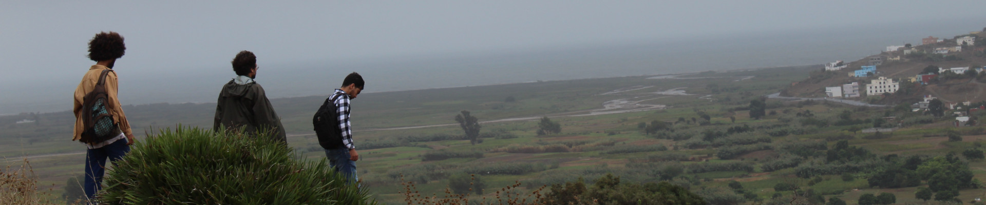
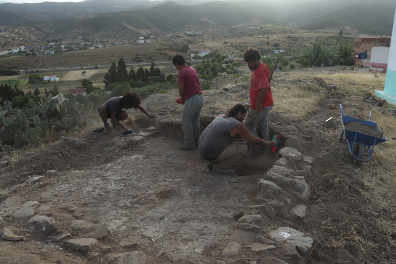
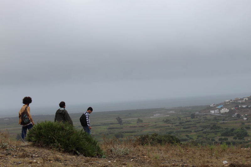
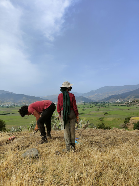
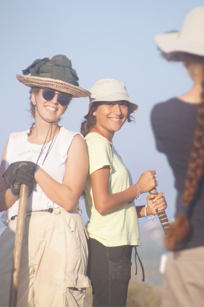
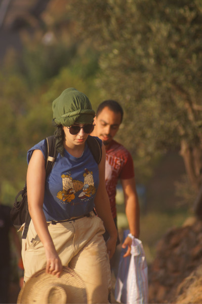
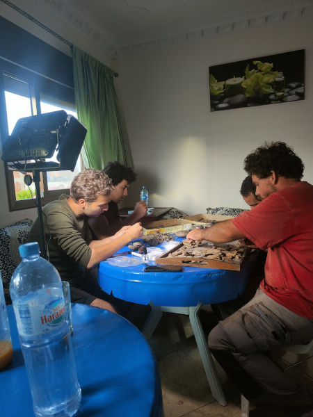
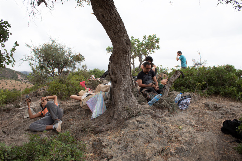
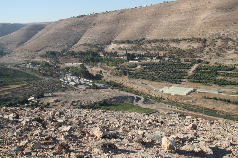
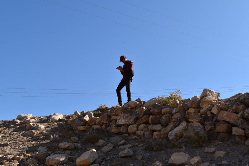
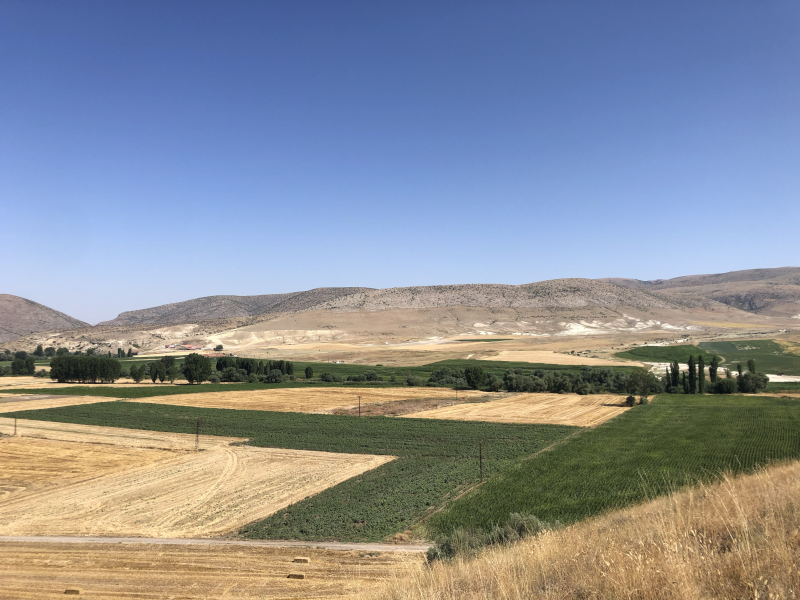
 During this season, I was also in charge of producing the photogrammetric record of the probes and the road cut sections. Therefore, sometimes I also worked on the acquisition of the photographic dataset and measurements with a total station to produce a 3D model of the endangered southern and southeast sectors of the site of Khirbat Iskandar. On such days, I would join the survey team for the rest of the day after completing my work on photogrammetry. To take the photographic dataset as first operation in the morning is an important step because it allowed me to take advantage of the best light before the sun rises. In fact, direct sunlight provides uneven lighting around an object and casts hard shadows, this can lead to errors during the photo processing or produce a bad quality texture. So, it is necessary for us to take photo when the light is diffused, like cloudy days or during the sunset/sunrise.
Personally, I consider this task a necessary step of my work and I am proud of the results I obtained. The use of new technology as photogrammetry in the collection and elaboration of data is an important step, necessary in most of modern survey operations. All the 3D models we produced are scaled; this allows us to take remote measurements and have a three-dimensional point of view over the subject without being in the field and all in one file. In few words: scholars can virtually come back to the site whenever they want.
After the lunch break my work restarted in the afternoon. Usually in the second part of the day I worked on the processing of data we collected in the morning; this operation consists most of the time in the massive data entry into our geodatabase. Maybe this part of the work is a bit boring compared to the fieldwork but it is necessary and it so exciting to see the results of all our hard work summarized on maps that show us a big picture. When we took photographic data for photogrammetry, I used to work on the elaboration of the 3D model with appropriate software such as Metashape. Usually this process is mostly automatized except for the uploading of photos and coordinates collected with the total station. It can be time consuming just in case of problems, for example the presence of one or more bad photograms in the dataset, bad light or other technical issues that can be resolved with a bit of human work. When a 3D model was completed I produced some orthophotos, which will be necessary to generate floor plans or frontal elevations through the use of other software as Autocad.
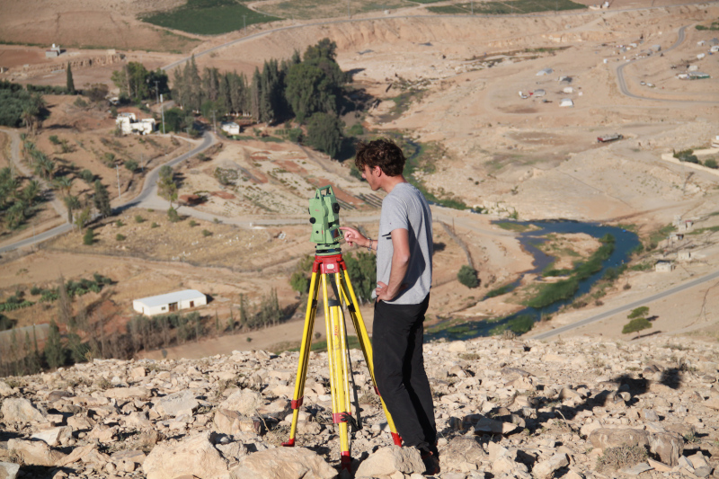
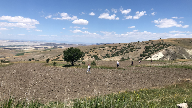
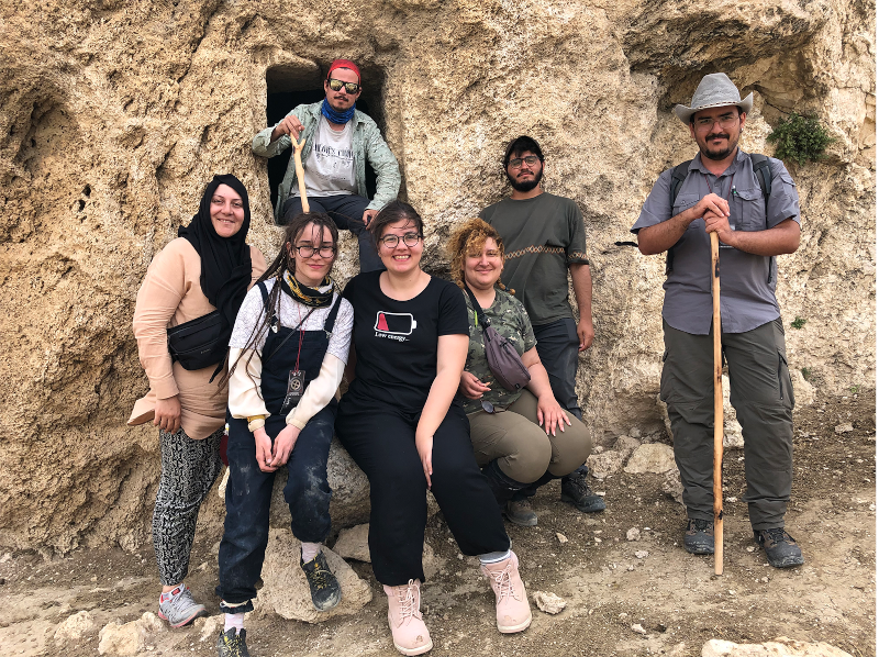
 Nicola Lanzaro obtained his BA degree in Eastern Archaeology at L’Orientale University of Naples. He is currently a MA student at the Sapienza University of Rome. He is currently member of two missions in Levant: the Lebanese-Italian Project in the Region of Tyre, Lebanon (from 2022) and the Archaeological Expedition to Khirbet Iskander, Jordan (from 2023). Nicola’s areas of interest include landscape archaeology, GIS, and the Early Bronze Age routes of the Southern Levant.
Want to help more students and early career archaeologists get into the field? Donate to the cause today by selecting “Student Support” as your gift purpose!

This an old post from March 14th. Please click here for the most recent update on March Fellowship Madness.

This year ASOR is awarding more than $250,000 in fellowships, scholarships, and grants! This extraordinary commitment to support fieldwork and research has been made possible by you, our members and donors, who have established endowments or made an
nual contributions to these programs.
we aim to raise $6,000 to send three additional students into the field during Summer 2024.

ASOR is able to provide these scholarships with the partnership of you, our many members and donors. You are enabling ASOR to establish new scholarships and grants through endowed funds, but your annual support (i.e., gifts this year) will allow ASOR to send more eager students and early career scholars into the field. Please support archaeology’s next generation by making a gift today and selecting “Excavation Scholarships” as the designation for your gift.
You may also make a designated gift by choosing any category from the drop-down menu on the donations module.
We owe so much to our generous members; even a small donation of just $10 can add up to make a big difference. 100% of your gift will go towards Fieldwork Scholarships for students. Keep track of our March Fellowship Madness 2024 donation progress here!
Please spread the word and don’t hesitate to contact us if you have any questions (e-mail or call [703-789-9233]).
-The ASOR Team


[vc_row fullwidth=”true” attached=”true” css=”.vc_custom_1496247803139{padding-top: 0px !important;padding-right: 0px !important;padding-bottom: 0px !important;padding-left: 0px !important;}”][vc_column][vc_single_image image=”94772″ img_size=”1920×400″ alignment=”center”][/vc_column][/vc_row][vc_row fullwidth=”true” css=”.vc_custom_1496682730308{padding-top: 10px !important;padding-right: 0px !important;padding-bottom: 0px !important;padding-left: 0px !important;}”][vc_column width=”1/12″ css=”.vc_custom_1496683820796{margin-right: 10px !important;}” offset=”vc_hidden-md vc_hidden-sm vc_hidden-xs”][vc_column_text]
SHARE
[/vc_column_text][mk_image src=”http://www.asortest.org/wp-content/uploads/2017/01/social-fb-icon4.jpg” image_width=”42″ image_height=”42″ hover=”false” custom_url=”https://www.facebook.com/ASOResearch/” margin_bottom=”0″][mk_image src=”http://www.asortest.org/wp-content/uploads/2017/01/social-tw-icon4.jpg” image_width=”42″ image_height=”42″ hover=”false” custom_url=”https://twitter.com/ASOResearch?ref_src=twsrc%5Egoogle%7Ctwcamp%5Eserp%7Ctwgr%5Eauthor” margin_bottom=”0″][mk_image src=”http://www.asortest.org/wp-content/uploads/2017/01/social-in-icon4.jpg” image_width=”42″ image_height=”42″ hover=”false” custom_url=”https://www.linkedin.com/company/american-schools-of-oriental-research” margin_bottom=”0″][mk_image src=”http://www.asortest.org/wp-content/uploads/2017/01/social-ml-icon_7.jpg” image_width=”42″ image_height=”42″ hover=”false” custom_url=”mailto:info@asor.org” margin_bottom=”0″][mk_image src=”http://www.asortest.org/wp-content/uploads/2017/01/blog-icon3.jpg” image_width=”42″ image_height=”42″ hover=”false” custom_url=”http://asor.org/blog” margin_bottom=”0″][vc_column_text][/vc_column_text][/vc_column][vc_column border_color=”rgba(255,255,255,0.01)” width=”1/6″ css=”.vc_custom_1496683923840{margin-right: 20px !important;border-left-width: 2px !important;padding-right: 20px !important;padding-left: 20px !important;border-left-color: #99422f !important;}”][vc_widget_sidebar sidebar_id=”ca-sidebar-39801″][/vc_column][vc_column border_color=”rgba(170,170,170,0.01)” width=”1/2″ css=”.vc_custom_1487276122024{margin-right: 10px !important;margin-bottom: 30px !important;border-right-width: 2px !important;border-bottom-width: 2px !important;padding-top: 30px !important;padding-right: 30px !important;padding-left: 20px !important;background-color: #ffffff !important;border-right-color: rgba(227,228,228,0.75) !important;border-bottom-color: rgba(227,228,228,0.75) !important;}”][vc_column_text responsive_align=”left”]
Annalise Whalen, 2023 P.E. MacAllister Fieldwork Scholarship Recipient
[/vc_column_text][mk_divider][vc_column_text responsive_align=”left”]
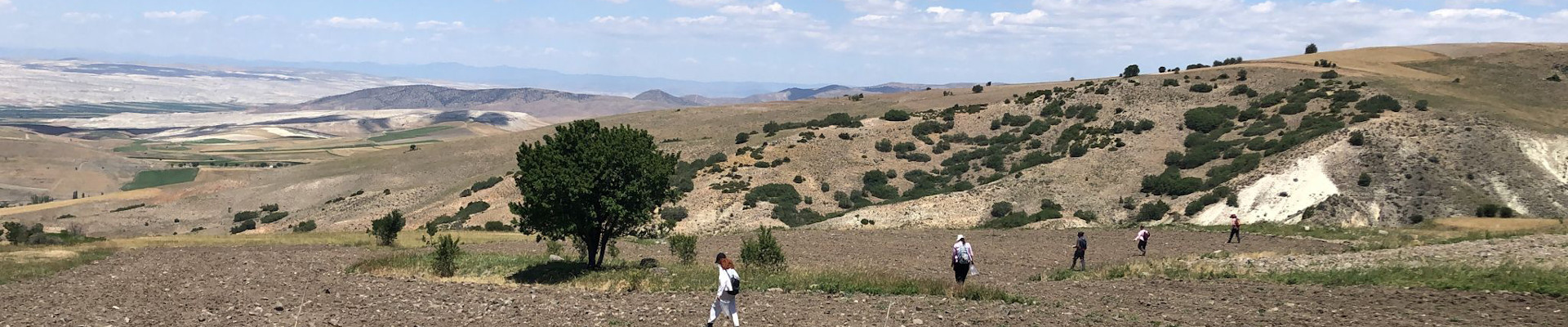
Mid-way through excavation, the highest point of the site can be seen in the background near where the Cappadocia Gate and the Palatial Complex are located.
Welcome to Kerkenes, a sprawling Iron Age site located in central Anatolia. This megacity is mysterious as it is vast; Kerkenes was only briefly inhabited for less than a century, before a battle and catastrophic fire caused it to become abandoned. Although the site has been suggested to be that of which Herodotus identifies as Pteria, this description is unconfirmed, and much is left to be learned about the city and its former inhabitants.
Here I joined the ASOR-affiliated Kerkenes Project with the University of Central Florida, where I started my PhD this year working with Kerkenes project director Dr. Scott Branting. Despite a sobering earthquake and busy election season in Turkey preluding our excavation, this year’s field season took place from May until July 2023. Thanks to the generous support of the P.E. MacAllister Fieldwork Scholarship, I was fortunate to participate in an advantageous initial season on the site before starting my PhD program.
[/vc_column_text][vc_wp_text]
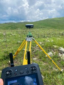
The drone (somewhere up in the sky) and GPS in action.
Kerkenes is located in central Anatolia, in the province of Yozgat. This year the Kerkenes team was lucky to be among the first to experience the opening of the new high-speed rail system that now runs from Ankara to Yozgat (yes, the same name as the province), a city within an hour of the field site. I find the Kerkenes Project unique on account of the variety of research methods and experts that collaborate on the single site. This year we conducted geophysical surveys, drone surveys, and excavation in the field, in addition to ongoing material analysis carried out by conservators, zooarchaeologists, paleobotanists, and ceramicists in the nearby compound’s facilities. Digitalization of previous years’ finds is carried out in any spare time the team has, creating a valuable archive of 3D data about the site.
[/vc_wp_text][vc_single_image image=”94777″ img_size=”large” add_caption=”yes” alignment=”center”][mk_padding_divider][vc_wp_text]
The timing of the field season in Kerkenes is particularly suited to the wide range of surveys and research that is conducted there. Weather in the first few weeks of the season is typically wet and rainy, the moist ground conducive to resistivity surveys. Perhaps thanks in part to El Niño, we had an unusually rainy year that allowed for resistivity to carry on into nearly mid-June. As the spring rain cleared up, excavation began on Urban Block 8, a section of the city located along the northern edge of the city wall. This block is one of the longest-excavated sections of the site and has yielded valuable data concerning urban development and planning of the city and its perimeter defensive wall.
Over June and July, the excavation team successfully excavated new rooms of this block, providing the project with more data that will help us understand the purposes of the specific structures in Urban Block 8. Based upon the 2022 season’s excavation in adjoining rooms of the block, we anticipated the need for accompanying zooarchaeologist researchers to develop a system by which to differentiate bone fragments from ivory in the field. This system expedited the identification process of many materials and made our work in the trench more efficient.
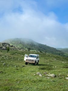
The project’s trusty all-terrain transportation.
Sure enough, this summer’s excavation yielded data which will help us understand the functionality of Urban Block 8’s structures, in addition to the potential diet, animal husbandry practices, storage systems, and art production of the urban block’s residents. Many materials found in Urban Block 8 this year showed evidence of contact with extreme temperatures, serving as further evidence of the reach and intensity of the destructive fire that enveloped the city. The team conducted wet sieving and flotation on many soil samples from this year’s trench, but due to the large volume of soil collected, work from 2023 samples will continue into next year and keep us very busy!
Finds from previous years of the Kerkenes project can be viewed by the public at the nearby Yozgat Museum, as well as in Ankara at the Museum of Anatolian Civilizations. The Kerkenes site will continue to be a source of incredible information about the central Anatolian Iron Age and ancient megacities. Recent work on the site investigates urban planning, pedestrian modeling, and shared social spaces that can be applied to cities anywhere, ancient or modern. I look forward to joining the project in the coming years during my doctoral program to help uncover more of this incredible field site.
[/vc_wp_text][vc_single_image image=”94784″ img_size=”full” add_caption=”yes” alignment=”center”][mk_padding_divider][vc_wp_text]
Annalise Whalen is a PhD student at the University of Central Florida, where she focuses on digital archaeology of the Middle East. She earned her MTS from Hellenic College Holy Cross Greek Orthodox School of Theology, and received her BA from the University of Massachusetts Amherst. You can find Annalise Whalen on Twitter @AnnaliseWhalen
For more information about the Kerkenes Project visit:
Website https://sciences.ucf.edu/anthropology/kerkenes/
[/vc_wp_text][mk_divider][vc_wp_text]Want to help more students and early career archaeologists get into the field? Donate to the cause today by selecting “Student Support” as your gift purpose!
 [/vc_wp_text][/vc_column][vc_column border_color=”rgba(170,170,170,0.01)” width=”1/6″ css=”.vc_custom_1496684098866{margin-right: 5px !important;margin-bottom: 20px !important;border-right-width: 2px !important;border-bottom-width: 2px !important;padding-top: 30px !important;padding-right: 10px !important;padding-left: 10px !important;background-color: #ffffff !important;border-right-color: rgba(227,228,228,0.75) !important;border-bottom-color: rgba(227,228,228,0.75) !important;}”][vc_wp_posts title=”BROWSE THE NEWS ARCHIVE” number=”4″][/vc_column][vc_column border_color=”rgba(170,170,170,0.01)” width=”1/6″ css=”.vc_custom_1496684008271{margin-right: 10px !important;margin-bottom: 30px !important;border-right-width: 2px !important;border-bottom-width: 2px !important;padding-top: 30px !important;padding-right: 20px !important;padding-left: 20px !important;background-color: #ffffff !important;border-right-color: rgba(227,228,228,0.75) !important;border-bottom-color: rgba(227,228,228,0.75) !important;}”][vc_column_text]Tweets by ASOResearch [/vc_column_text][/vc_column][vc_column][vc_column_text][/vc_column_text][/vc_column][/vc_row][vc_row][vc_column][/vc_column][/vc_row][vc_row][vc_column][/vc_column][/vc_row][vc_row][vc_column][/vc_column][/vc_row]
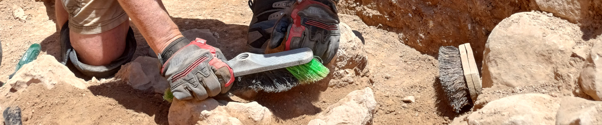
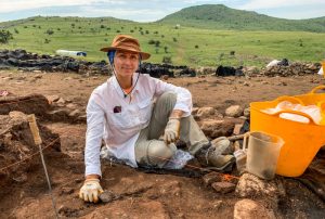
When I was a young boy, I dug holes in my parent’s backyard. I’m pretty sure I wasn’t expecting to find anything. I just liked to dig. I also read books about pirates and buried treasure. When asked, I would say my plan when I grew up was to find pirate treasure buried on remote Caribbean islands.

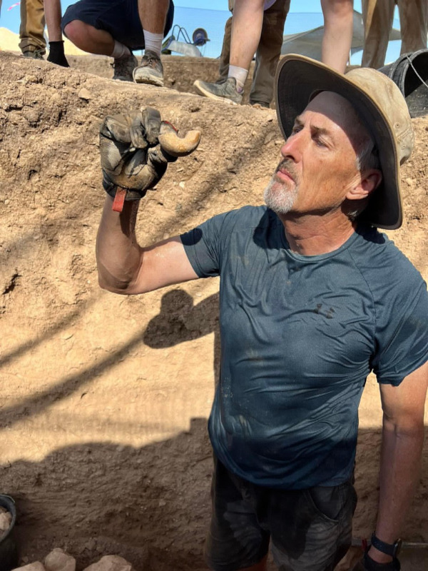
John holding two tourias.
Being a volunteer on an excavation in Israel is the grownup version of that young boy’s dream. Spoiler alert: the experience surpassed my expectations, and I am obsessed with it.
Going on “a dig” starts way before the long plane ride. For me, it meant going to the gym every day after work to get (and stay) in shape. I’m 63-years old, with a desk job, and didn’t want to be that “old guy”. I wanted to pull my weight and show the young grad students what hard work looks like. To wield a pickaxe and turia tirelessly for extended hours in 95-degree F heat. To “bucket-chain” over 1,000 buckets of dirt out of the excavation area every day without breaking a sweat (that’s an exaggeration – I sweated plenty).
Not everyone on the dig team started out as gung-ho as me. Some of the college kids didn’t have manual labor experience. But it didn’t take long for them to ramp up. It’s pretty awesome to see twenty-something guys and gals quickly learn how to dig. How hard can it be? Of course, anybody can “dig”. What I’m talking about is next level. Like, listening to the sound the pickaxe head makes when it hits the ground. Or feeling that difference flow up through the shaft handle to your hands. Was that soft dirt, hard dirt, mudbrick, pottery, stone, or an artifact? I’m totally serious. It’s a real thing.
One surprise is the focus of the dig director and supervisors at my site to make everyone’s experience a great one. Volunteers get training, mentoring, and meaningful assignments. First timers are not relegated to menial tasks. One of my roommates was in his thirties and has a desk job like me back in the States. He used his entire three weeks of annual vacation time to be a volunteer on the dig. He loved it.
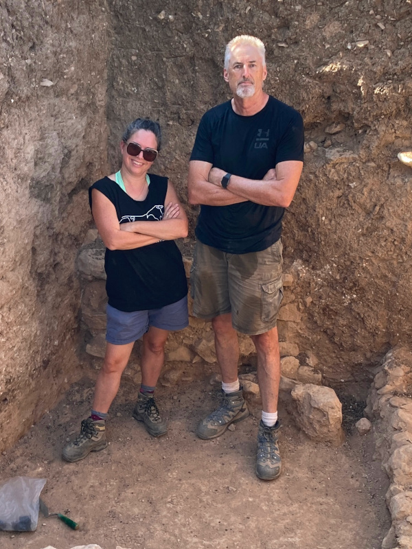

John standing above his
square after 6 weeks of digging.
There are side benefits too. Being on a dig isn’t just that three week or six-week session. It turns into a life experience. Not just the memory aspect of it. It can motivate you to care more about your physical condition and health. You make friends from all over the world and stay in contact on social media. It makes you more interesting to your family and friends, having unique stories to tell and pictures to share. If you read the Bible or history books it gives you “I was there” pictures in your mind of the real thing.
Did we find cool stuff? Of course. Ancient walls and plastered floors – from thousands of years ago. A 3,500-year-old bronze axe head. Ceramic jugs and bowls. A pottery sherd with an Egyptian hieroglyph. A cylinder seal. Large threshold stones leading into a temple – carved from volcanic basalt. And on and on.
One of my favorite pictures from this summer at Tel Hazor Lower City is of me standing above the “hole” I helped dig in six weeks. By itself, the picture isn’t amazing. But when I tell the people I show it to that we started at ground level in the year 2023, and six weeks and nine feet later it was the year 1750 BC more than 3,700 years ago – it becomes amazing! Lots of people like movies and books about time travel; sitting comfortably watching a movie or reading a book. I was there. I touched the stones and artifacts. I time traveled. Words cannot adequately express this phenomenon. You’ll just have to go to a dig one of these summers and see for yourself.
Today I’m writing this report back home in Colorado. When I finish it, I’ll be heading to the fitness gym to work out because the countdown app on my phone says 299 days from now I will be flying from Denver to Tel Aviv because I’m going back. I can hardly wait to see what our team is going to find next summer. Maybe I’ll see you there.

The Honors and Awards Committee seeks nominations to serve on the G. Ernest Wright Book Award and Frank Moore Cross Book Award sub-committees. ASOR invites nominations, including self-nominations, from ASOR members who are interested in being considered by the committee for these openings. Committee members will serve a three-year term with the possibility of two consecutive terms. Nominees must fill out the online form by February 23, 2024. The Honors and Awards Committee takes responsibility for determining the awardees for the three book awards, the field archaeology award, the “best poster” and “best student paper” awards, and the multiple membership service awards that ASOR gives annually; conducting the awards ceremony during the Members’ Meeting at the ASOR Annual Meeting; and discussing and advising the ASOR Board of Trustees about ASOR’s awards, including recommending to the Board the creation of new awards as deemed appropriate.
One candidate is sought for the G. Ernest Wright Award sub-committee. This award is given to the author/editor of the most substantial volume(s) dealing with archaeological material, excavation reports and material culture from the ancient Near East and Eastern Mediterranean. This work must be the result of original research published within the past two years. (One award is given annually.) This candidate will also serve on the Joy Ungerleider poster sub-committee.
One candidate is sought for the Frank Moore Cross Award sub-committee. This award is presented to the author/editor of the most substantial volume(s) related to the history and/or religion of the ancient Near East and Eastern Mediterranean. Primary consideration will be given to historical, epigraphic, textual, and comparative literary studies; or to works that advance and/or evaluate new methodological approaches to the literary record(s). This work must be the result of original research published during the past two years. (One award is given annually.) This candidate will also serve on the Student Paper Award sub-committee.
Preference will be given to candidates who complement the research specialities of the existing committee members.
In order to receive full consideration by the committee the online form must be submitted by noon EST on February 23, 2024. For questions and concerns, please contact Marta Ostovich (programs@asor.org)
This year ASOR is awarding more than $250,000 in fellowships, scholarships, and grants! This extraordinary commitment to our members has been made possible by you, our members and donors, who have established endowments or made annual contributions to these programs.
We invite you to FIND ONE (a scholarship, fellowship, or grant) or to help FUND ONE (designated gifts to enable us to award even more, or unrestricted gifts to help with the costs of administering and distributing the awards).
ASOR plans to make four types of awards:

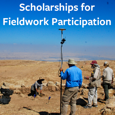
The deadline to apply for fieldwork participation scholarships and grants is a little over a month away (February 26 for grants, February 28 for scholarships). We invite you to apply and to share the word through your social media and other networks (please share this post).

ASOR is able to provide these scholarships with the partnership of you, our many members and donors. You are enabling ASOR to establish new scholarships and grants through endowed funds, but your annual support (i.e., gifts this year) will allow ASOR to send more eager students and early career scholars into the field. Please support archaeology’s next generation by making a gift today and selecting “Excavation Scholarships” as the designation for your gift. You may also make a designated gift by choosing any category from the drop-down menu on the donations module.
Please spread the word and don’t hesitate to contact us if you have any questions (e-mail or call [703-789-9233]).
-The ASOR Team