2025 Joe D. Seger Project Grant: Tall al-Handaquq South Archaeological Project
Hanna Erftenbeck, Grinnell College and Natalia M. Handziuk, University of Toronto
With the support of the 2025 Joe D. Seger Project Grant, the Tall al-Handaquq Archaeological Project (HAP) conducted its first season of renewed work at Tall al-Handaquq South in Jordan. Previous excavations in the 1990’s exposed a well-preserved residential complex dating to the Early Bronze Age, contributing significantly to our understanding of people’s everyday lives during this period of early urban developments in the region.
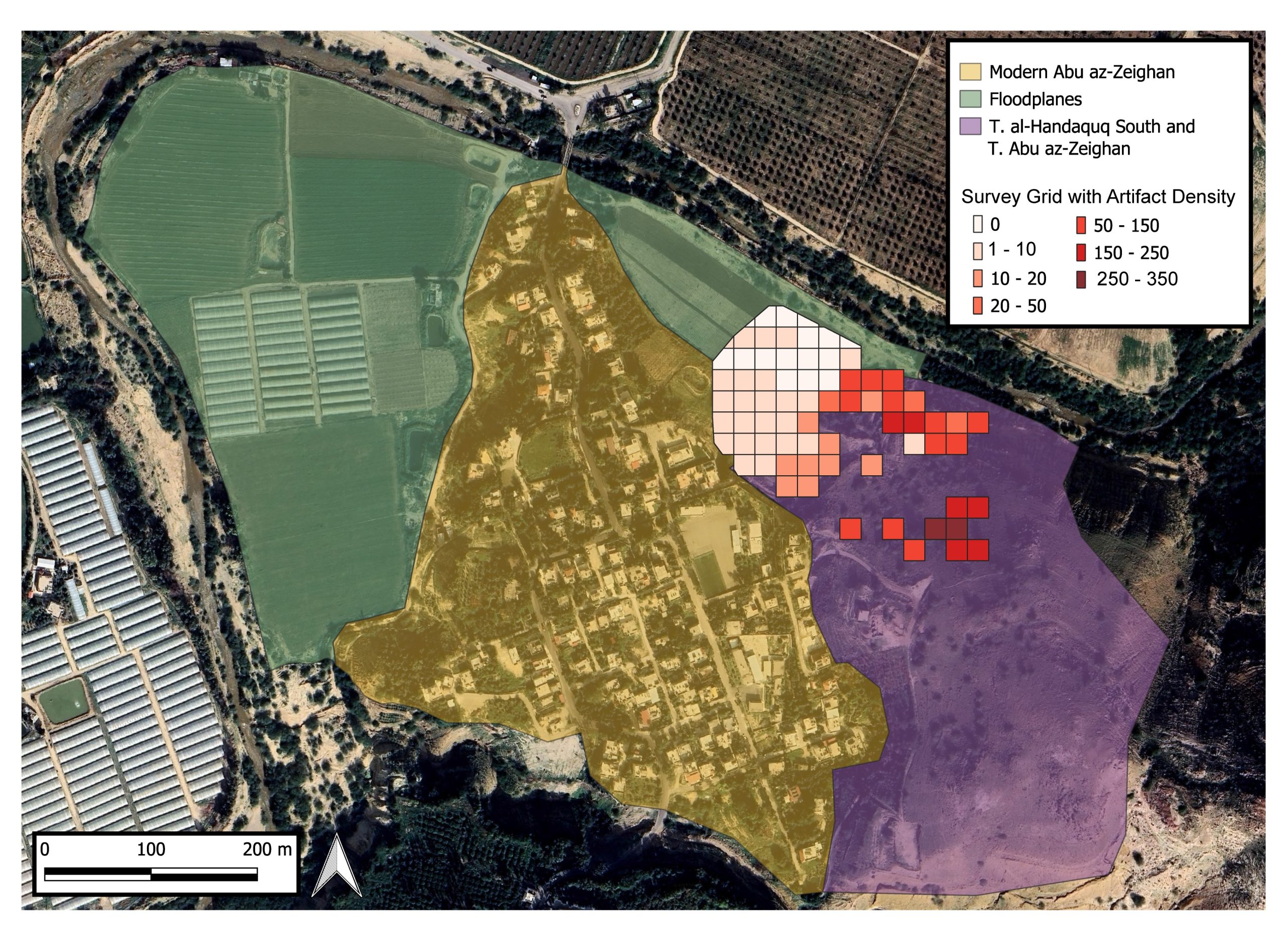
Figure 1: Map of Tall al-Handaquq South/Tall Abu ez-Zeighan with survey grid and recorded artifact density.
HAP Co-directors Dr. Natalia M. Handziuk and Dr. Hanna Erftenbeck conducted a zero-recovery survey on Tall al-Handaquq South, which encompasses the northern part of a large, Early Bronze Age town, that extends into the archaeological site of Tall Abu ez-Zeighan. The goals of the 2025 seasons were to (1) assess the extent of the site, and (2) the density of archaeological materials on the surface, (3) document features visible on the surface, and (4) assess site preservation and possible threats.
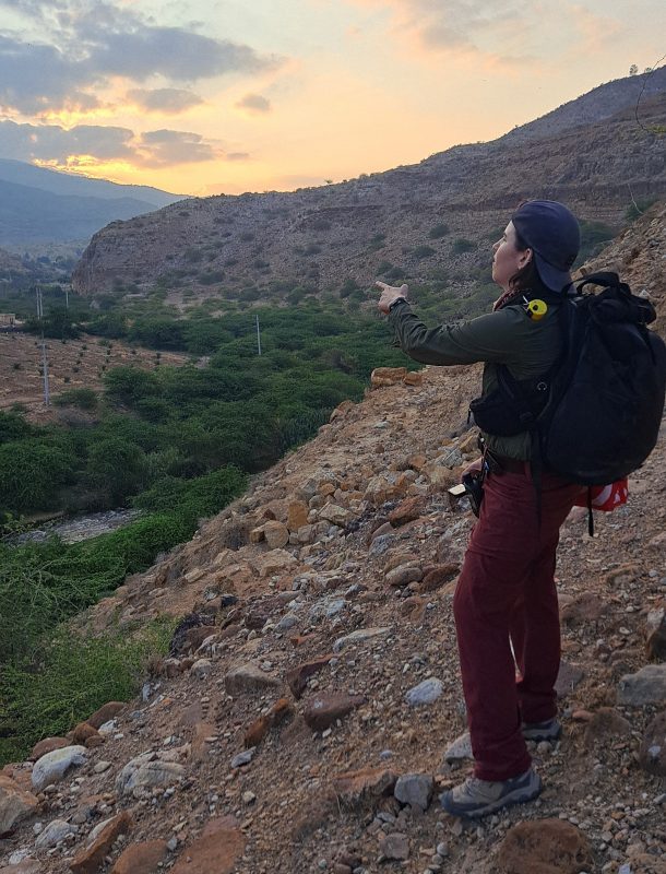
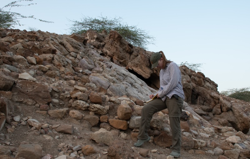
Figure 2: Natalia M. Handziuk on the northern slope of Tall al-Handaquq South, looking North into the Wadi Zarqa.
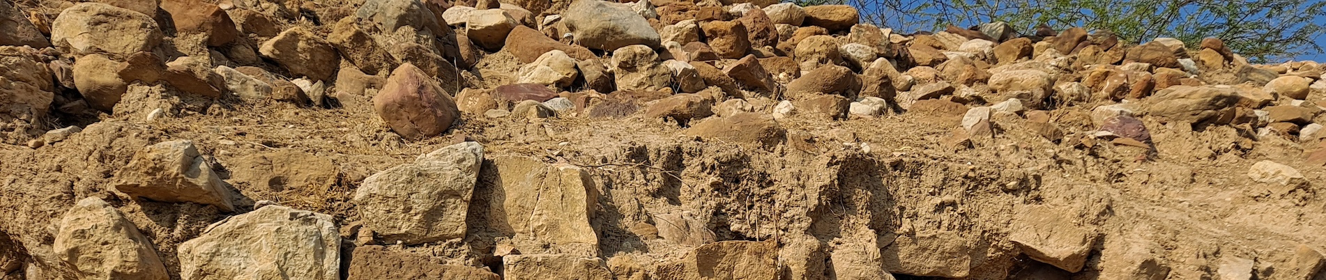
The survey focused on the floodplains and terraces along the northern limits of the site. There, modern agricultural fields are located on the flood plains of the Wadi Zarqa. As shown on the map, the density was overall low in the area northwest of the slope, marking the limits of preserved archaeological material. We identified three terraces along the northern edge of the slope, on which find density was much higher, and the outlines of a wall or platform were visible running below the second terrace.
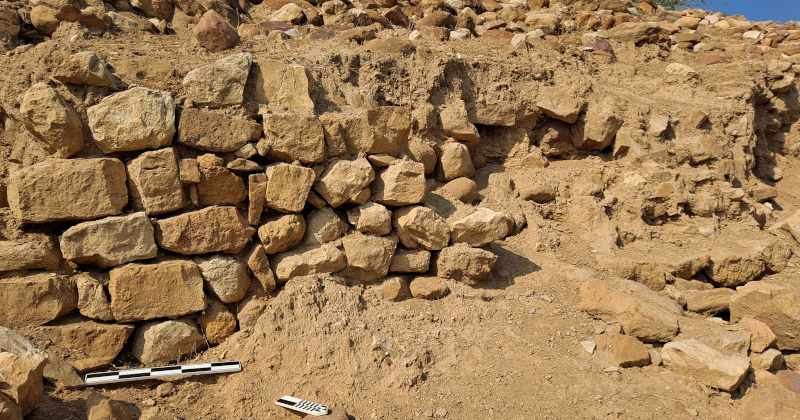
Figure 3: Wall or platform visible along the bottom of the second terrace on the northern edge of Tall al-Handaquq South.
Further up the slope, the density increased further, and wall lines of different sizes were recorded on the surface. A trilithon dolmen and two cupmarks were recorded on the slope toward the southern limits of Tall al-Handaquq. While the dolmen is intact,
large holes indicate that it has been looted.
Figure 4: Dolmen in area 794 with looting hole.
During the survey, we recorded several looting holes in and near the architecture visible on the surface of the slope and the terraces. Almost all of the pottery collected during the survey on Tall al-Handaquq South dates to the Early Bronze Age I through IV, with the majority of the pottery dating to the EB II-III period, confirming that Tall al-Handaquq South/ Tall Abu ez-Zeighan was settled intensely during this time period.
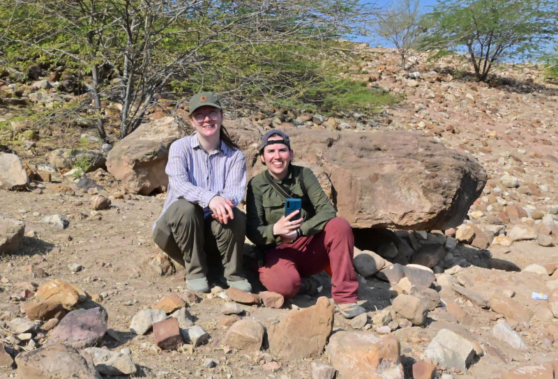
Figure 5: Hanna Erftenbeck documenting wall lines in areas 912 and 951.
The Tall al-Handaquq Archaeological Project (HAP) expresses its deep gratitude to ASOR and the Joe D. Seger Project Grant for their generous support. This project was conducted in collaboration with and under the guidance of the Department of Antiquities of Jordan. Special thanks go to Rami Frehat, who offered valuable insights into the regional setting of Tall al-Handaquq South and supported us on the ground each day. We are grateful to the team at ACOR for their support in starting a new project and for providing us with lab space during our field season. Mohammad Shabsogh provided logistical support throughout the season, and we are deeply grateful.